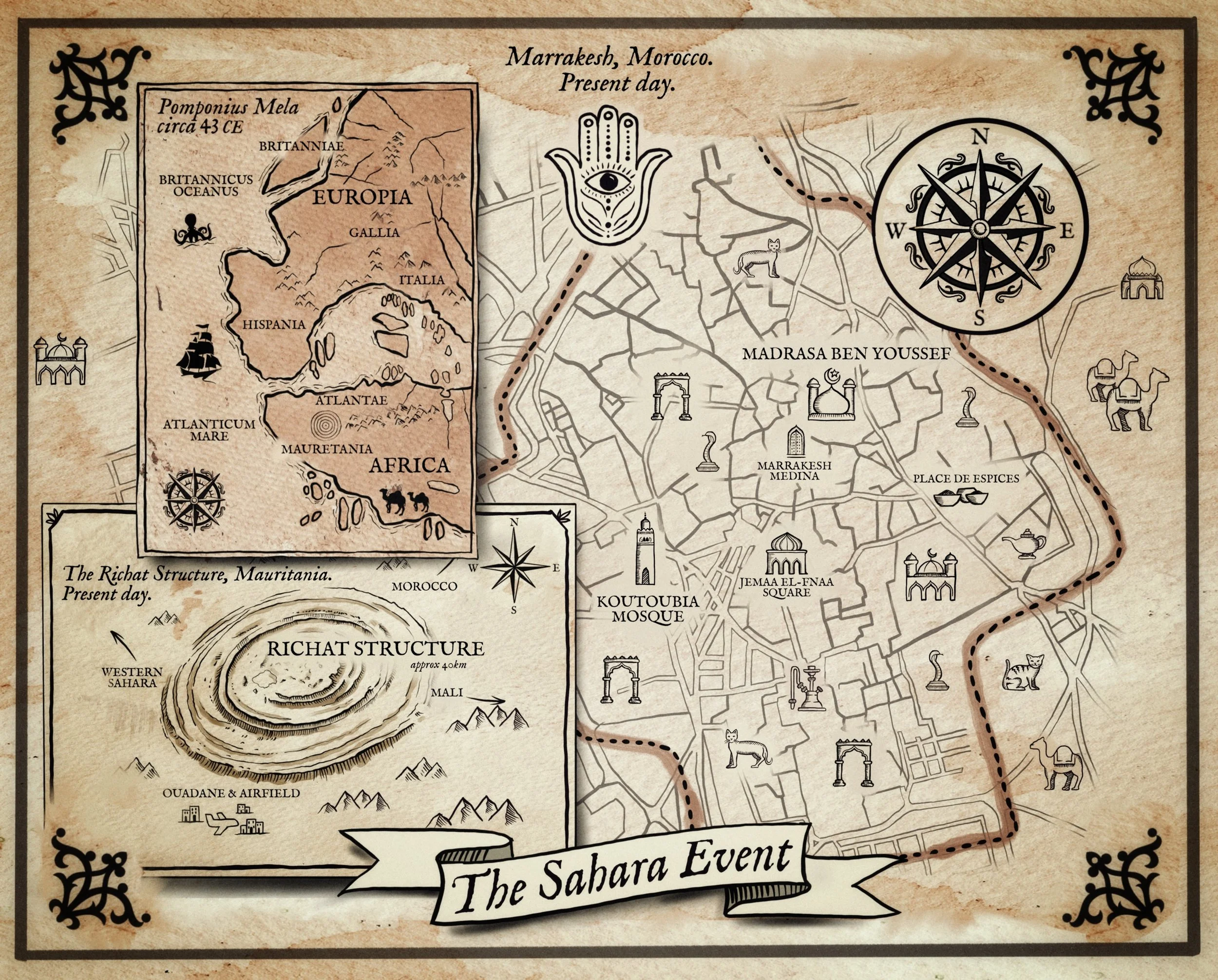
I had an absolute blast working with my designer on this map. It’s the first time I’ve ever created a map for one of my books—and it definitely won’t be the last. The map highlights some of the key locations in the story, spread across Morocco and Mauritania.
On the right, you’ll see a hand-drawn layout of the Marrakesh Medina, complete with major landmarks like Jemaa el-Fnaa Square, Koutoubia Mosque, Madrasa Ben Youssef, the winding Medina streets, and Place des Épices. There are also fun little icons scattered around—camels, cats, and classic Moroccan architecture.
In the lower-left corner, the map zooms out to the Richat Structure (the Eye of the Sahara) in Mauritania, alongside nearby regions including Western Sahara, Morocco, Mali, and the Ouadane airfield.
The upper-left inset features a stylized take on Pomponius Mela’s ancient world map from 43 CE, showing “Europia,” “Africa,” “Hispania,” “Gallia,” and “Atlantae,” complete with old-world coastlines, mountains, ships, and mythical sea creatures. Everything’s wrapped in ornate borders with a bold compass rose and a Hamsa symbol to round out the archaeological-thriller vibe.