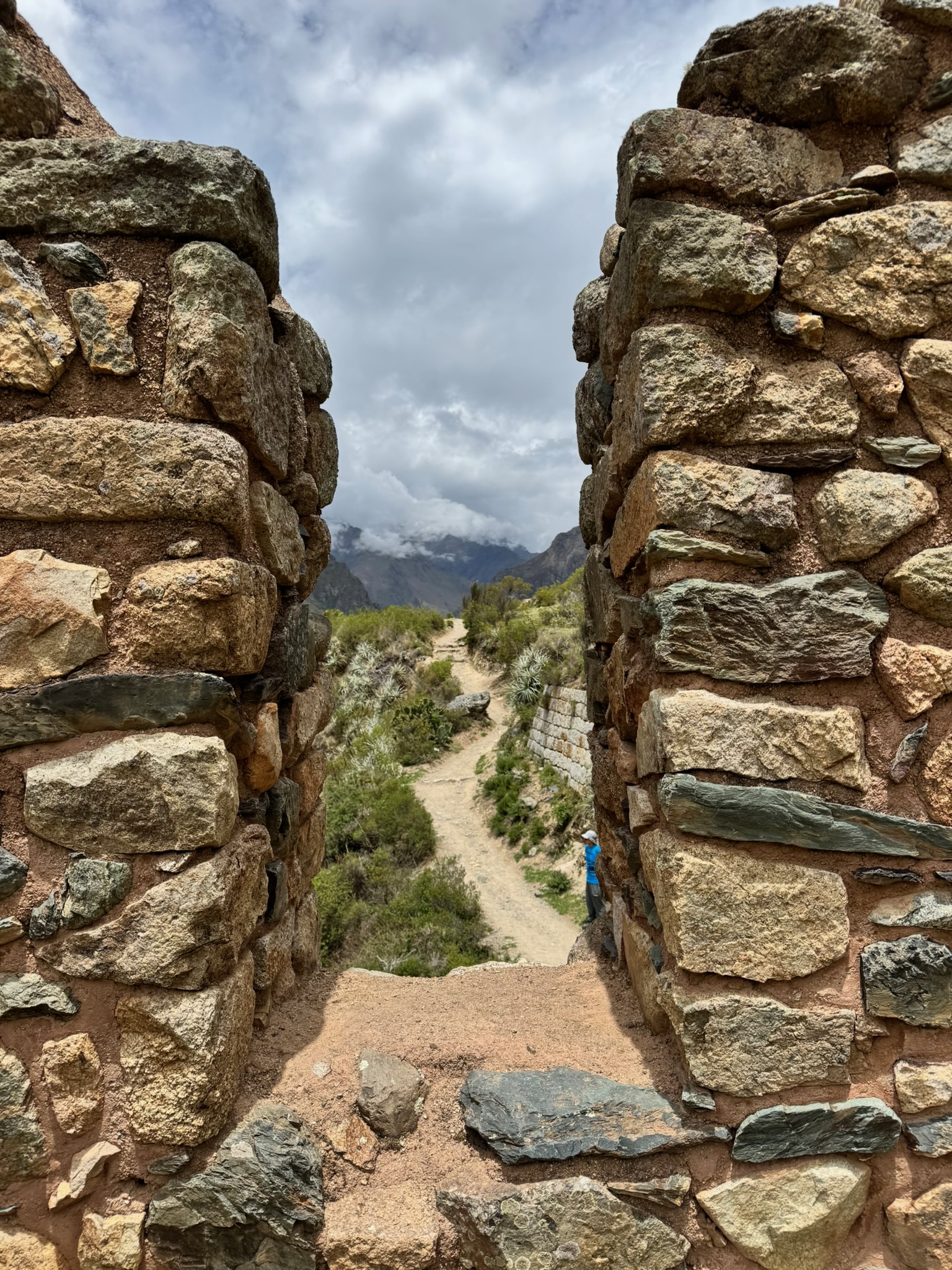
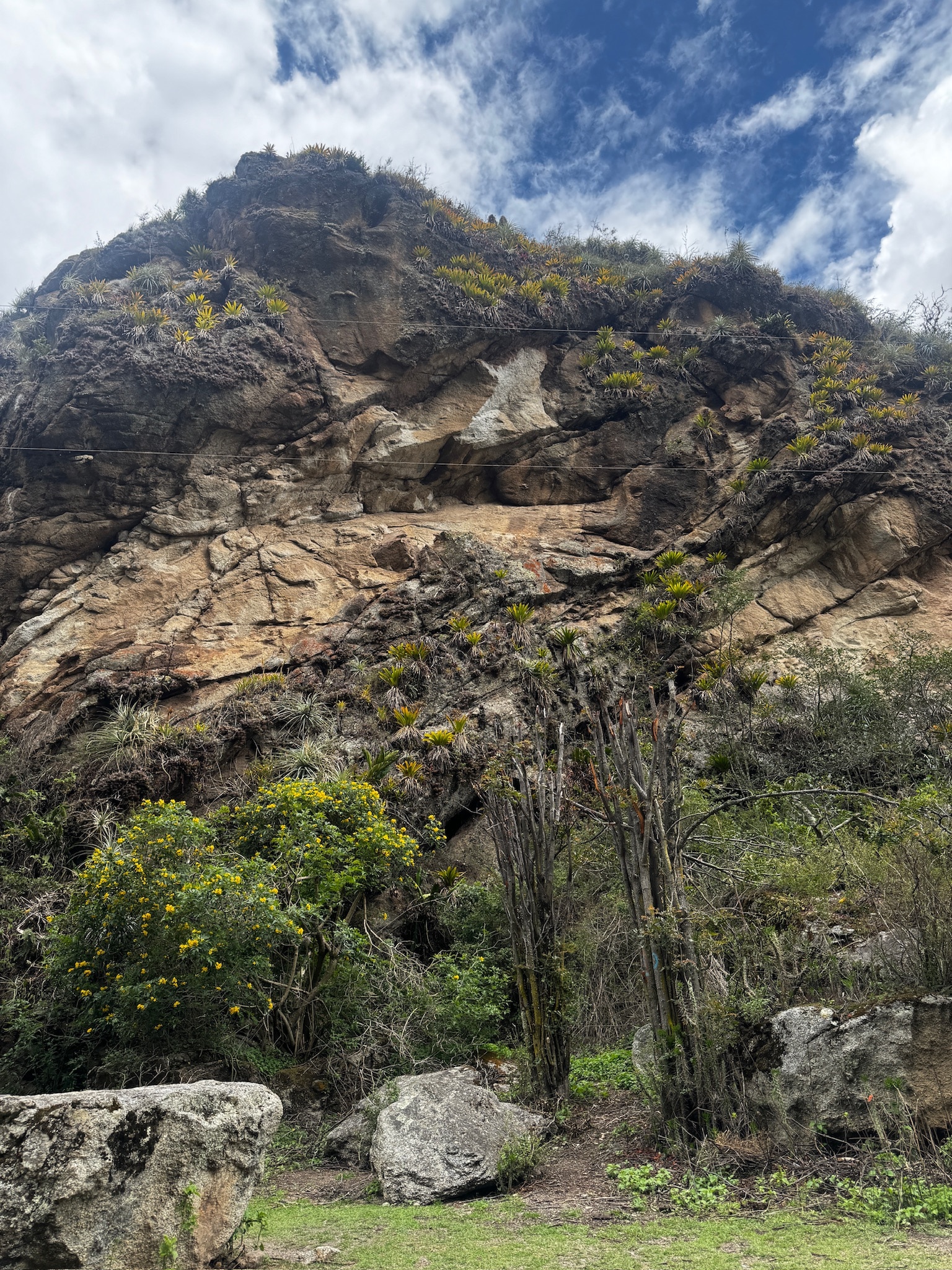
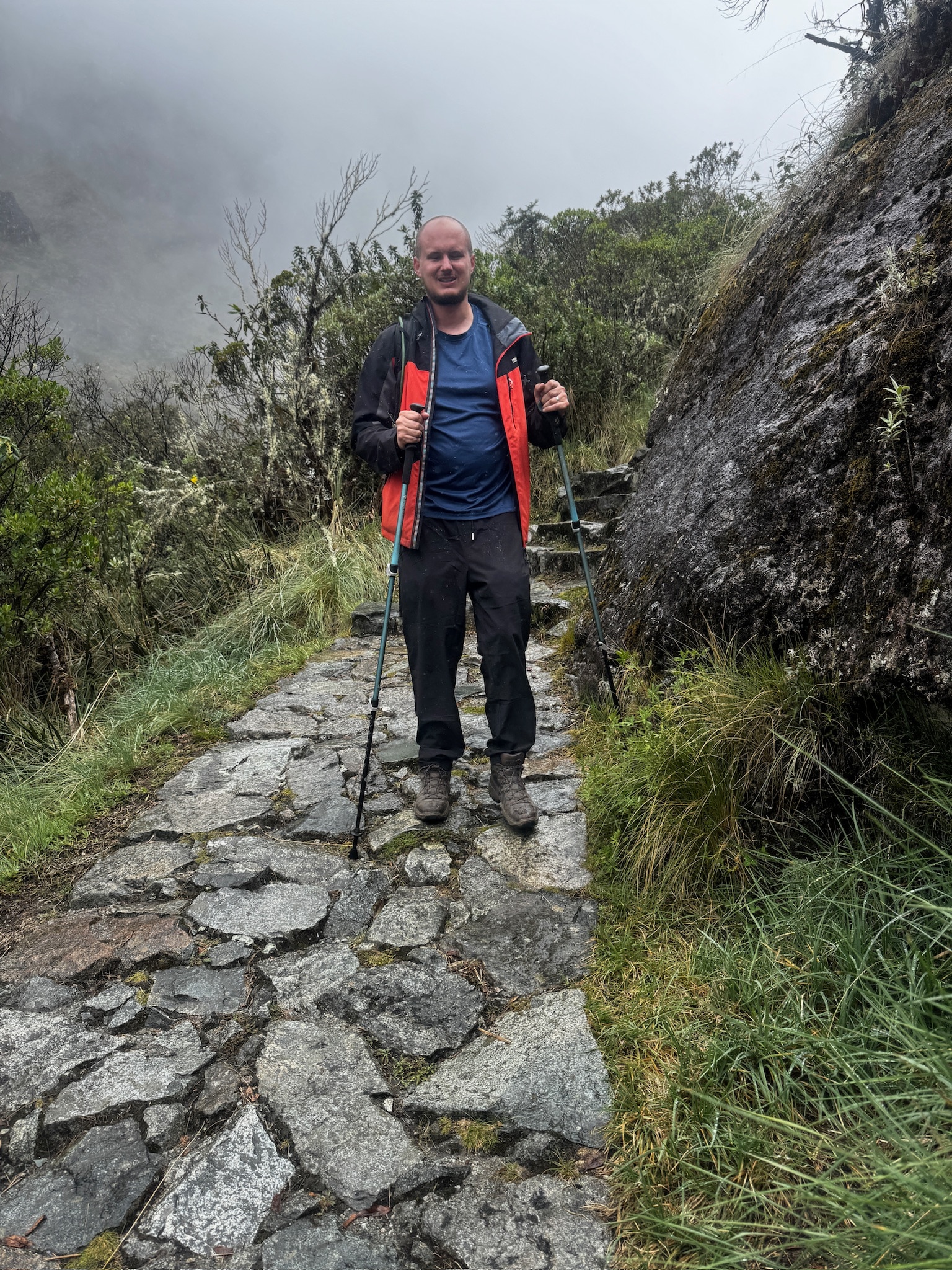
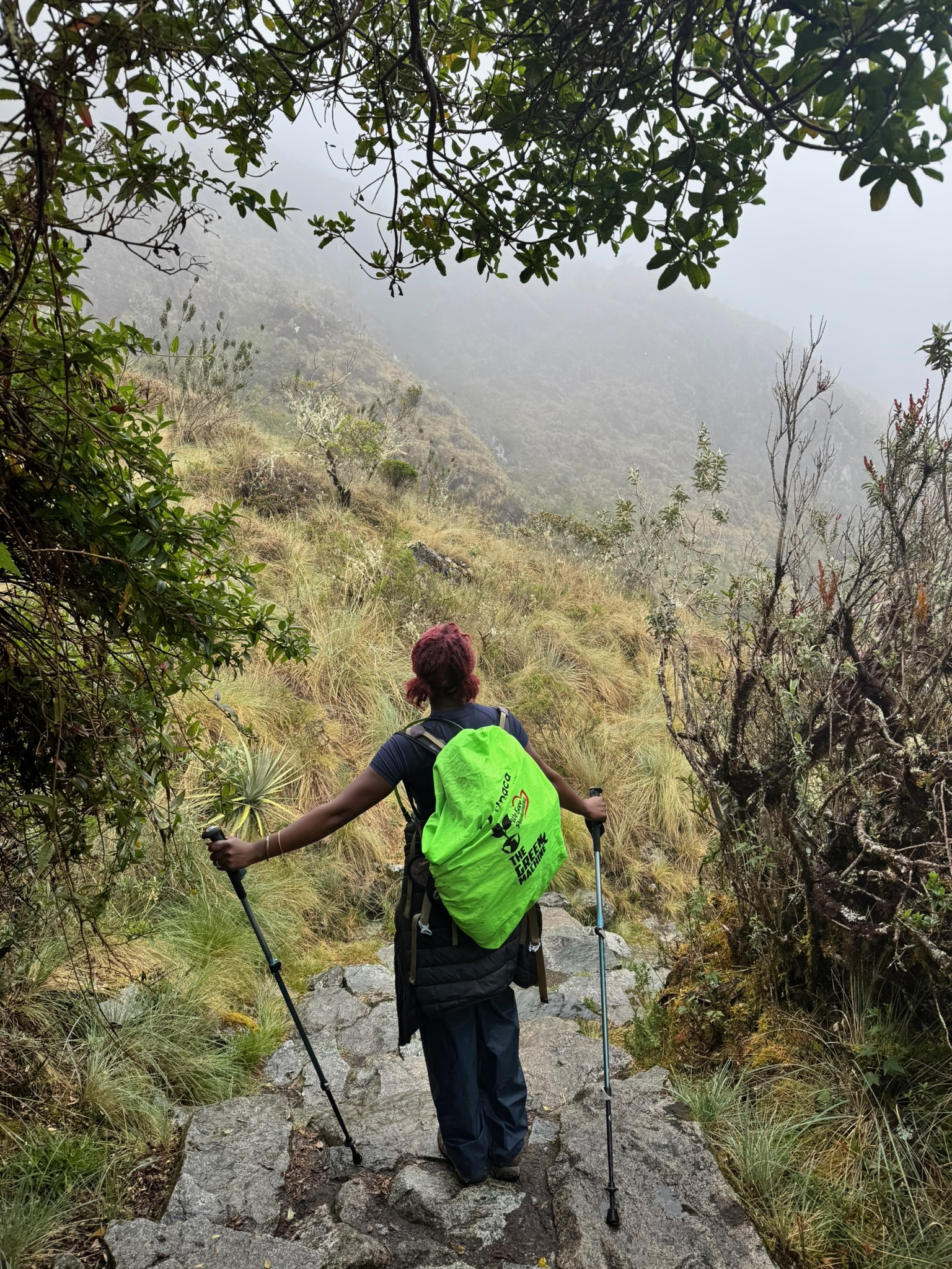
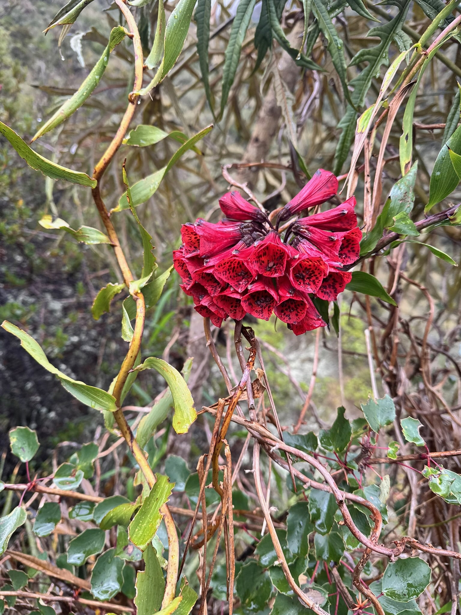
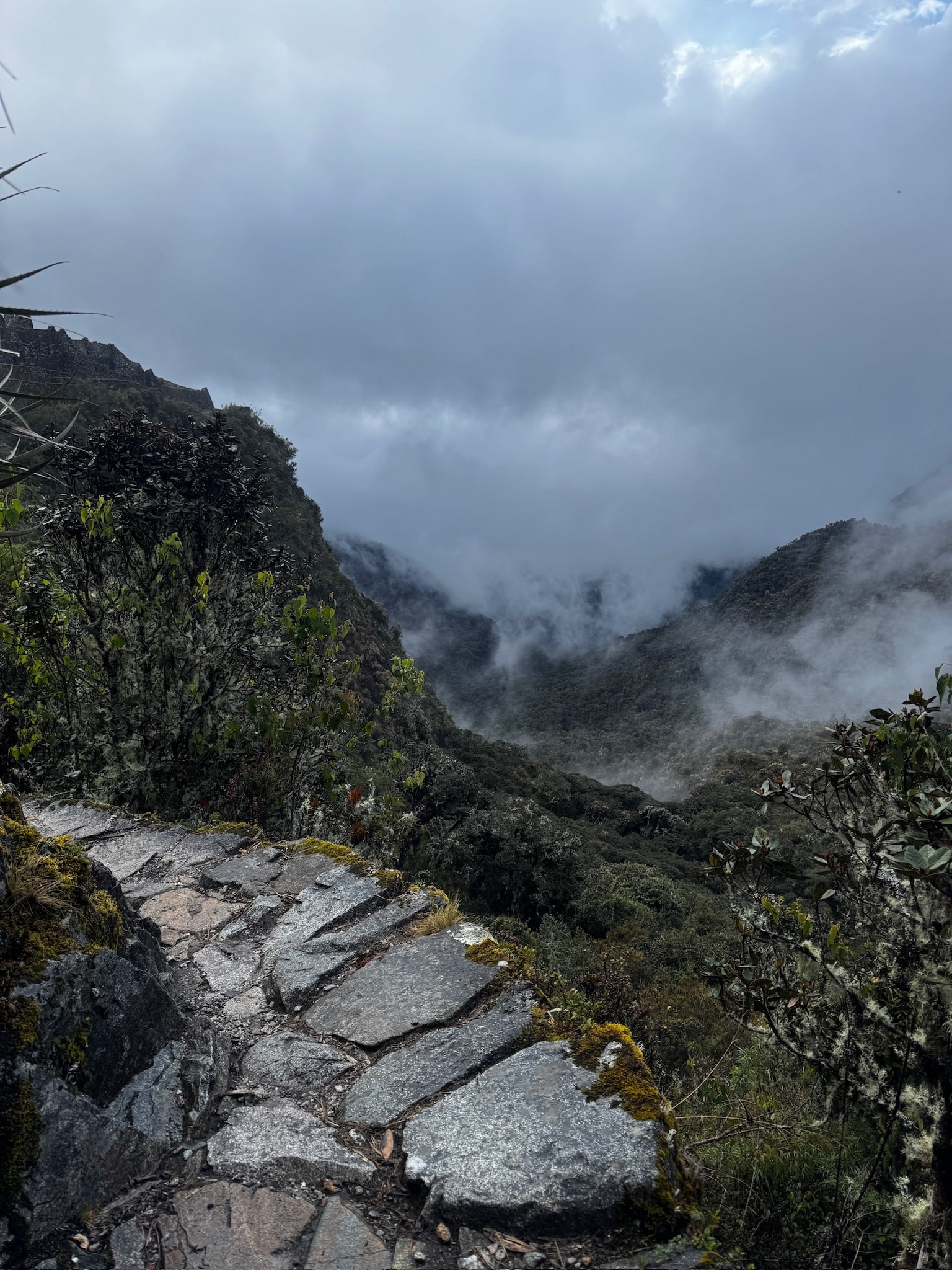
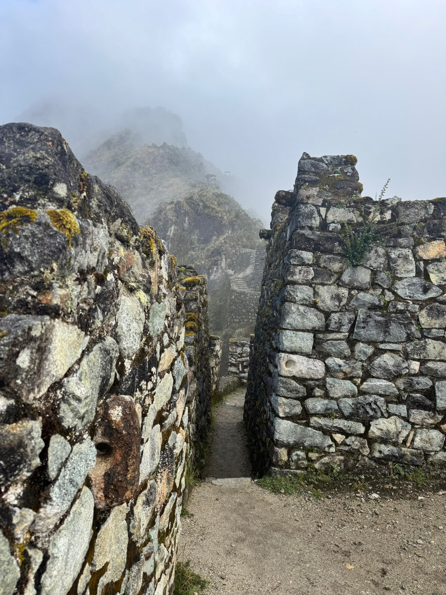
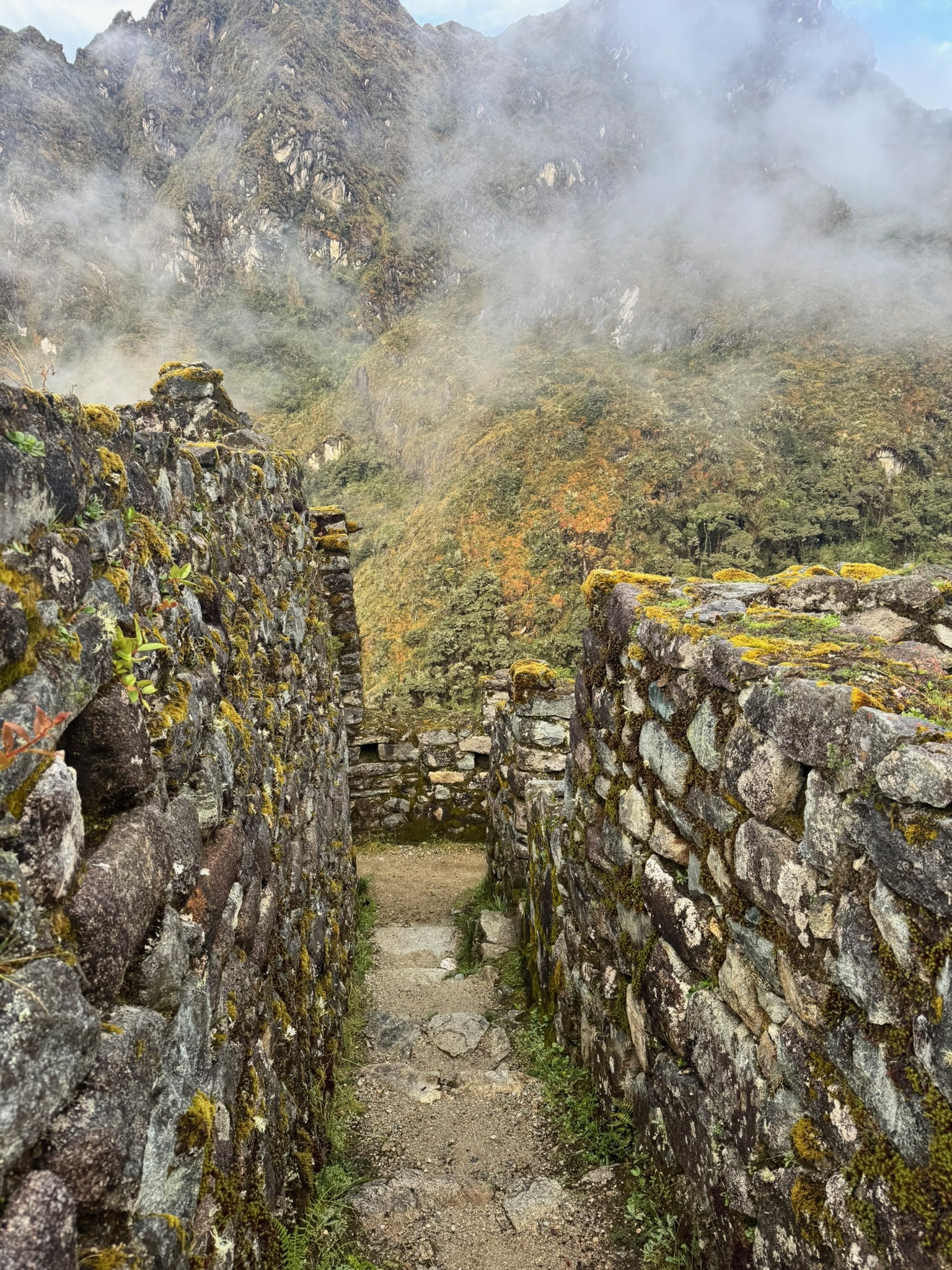
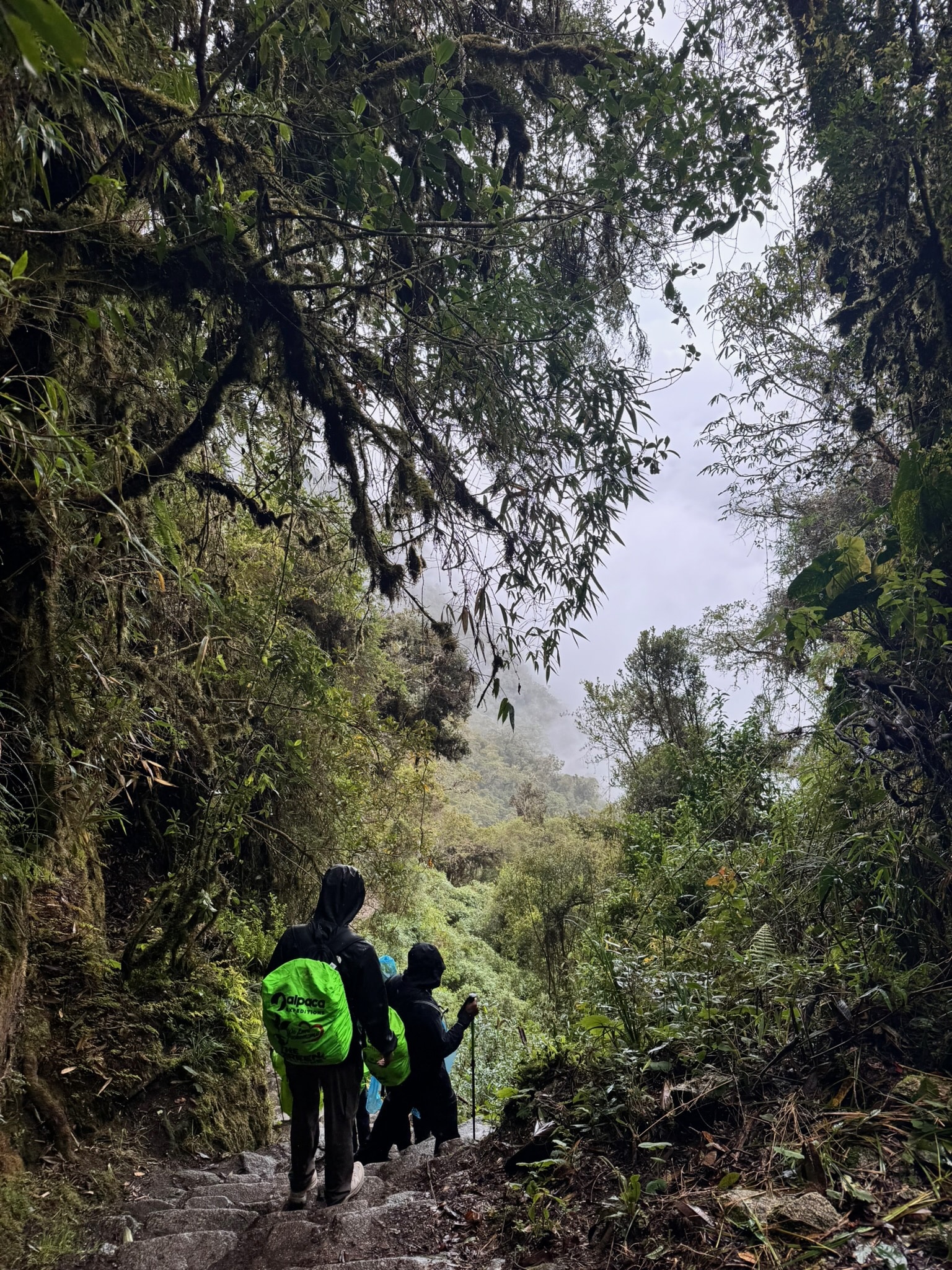
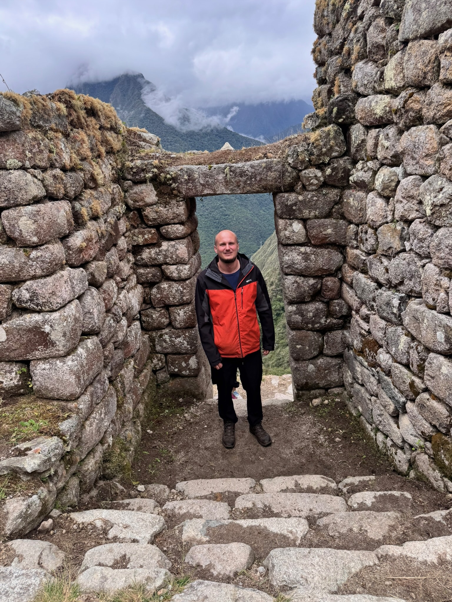
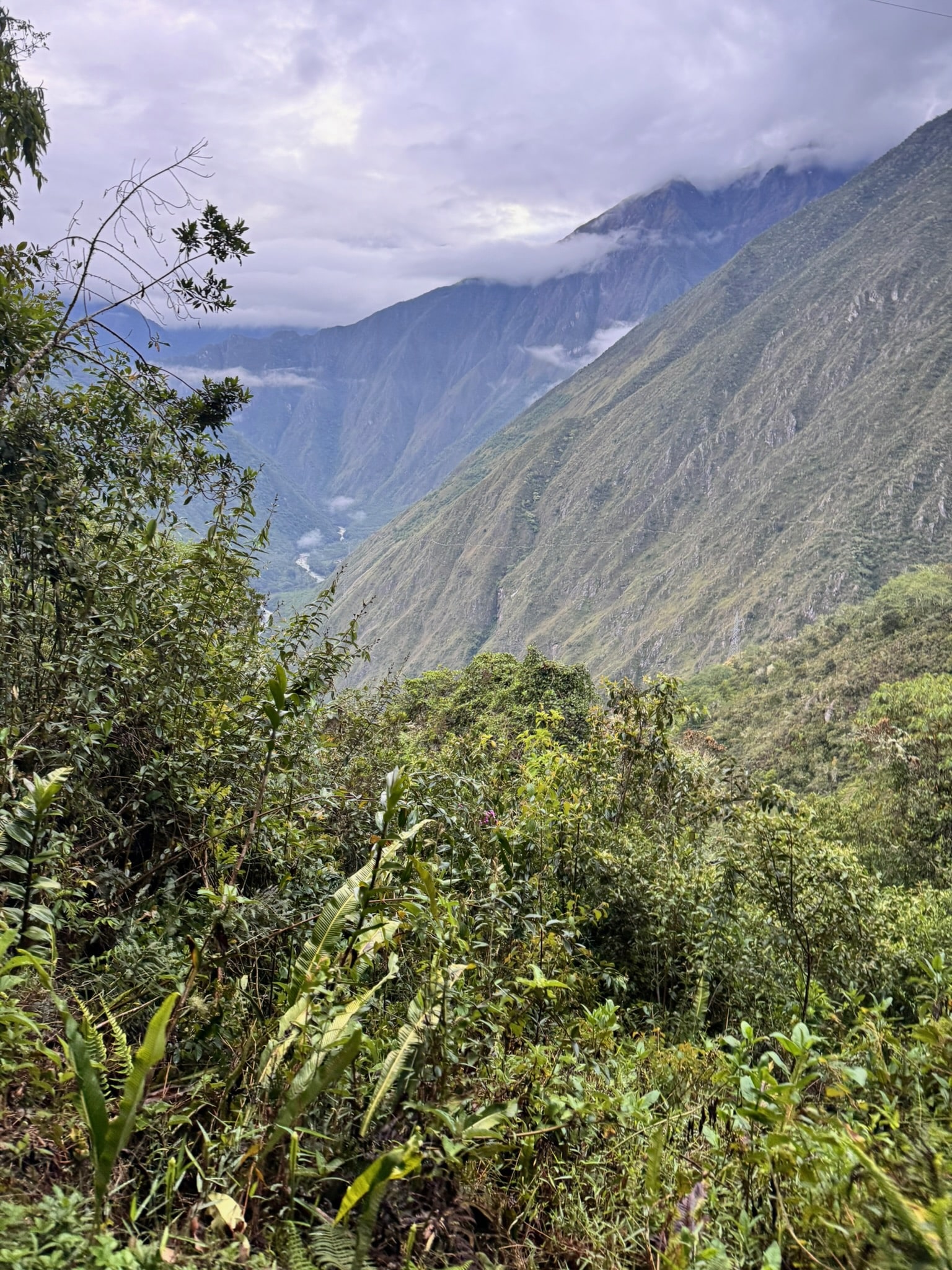
We step through the stone walls of a mist-shrouded gateway high in the Andes. Vines trail on both sides of the path, and ancient ferns sprout thickly, just as they have since the age of the dinosaurs. The early calls of unseen birds drift through the undergrowth, along with the shuffle of our feet over the uneven stones.
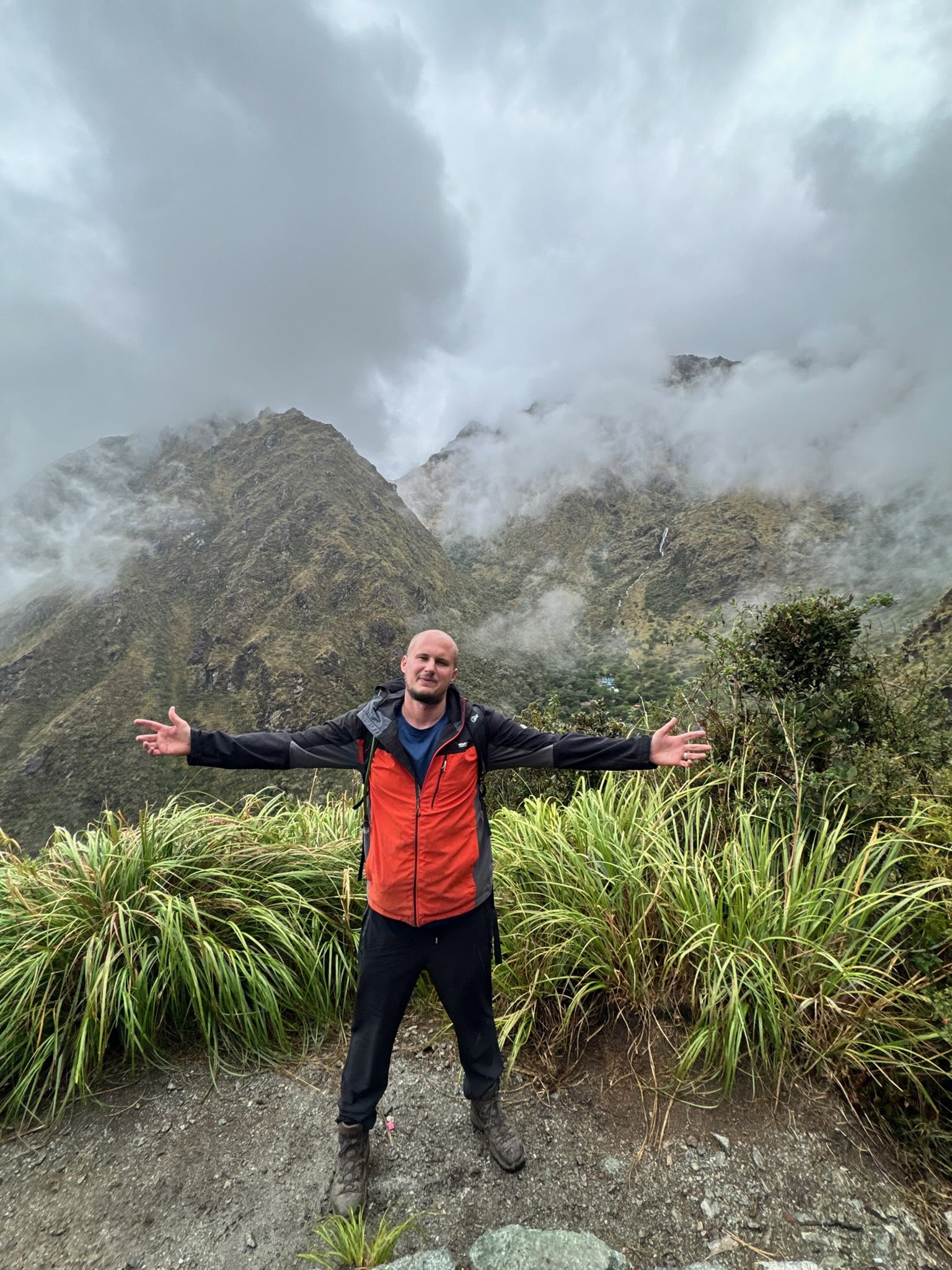
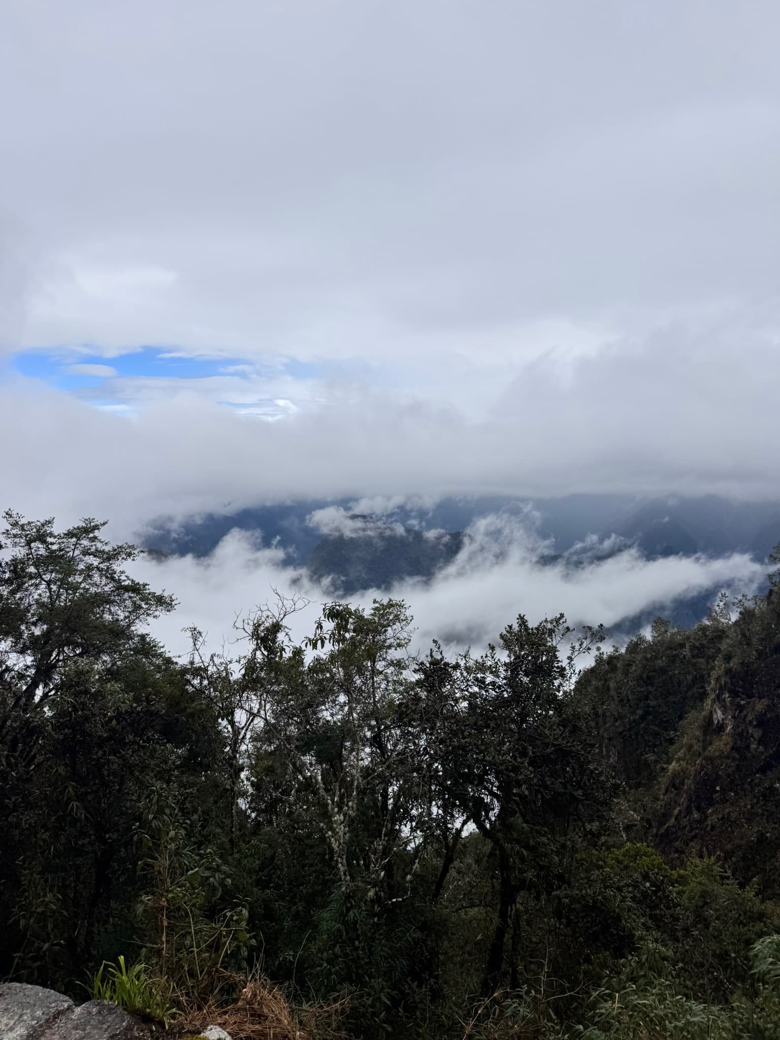
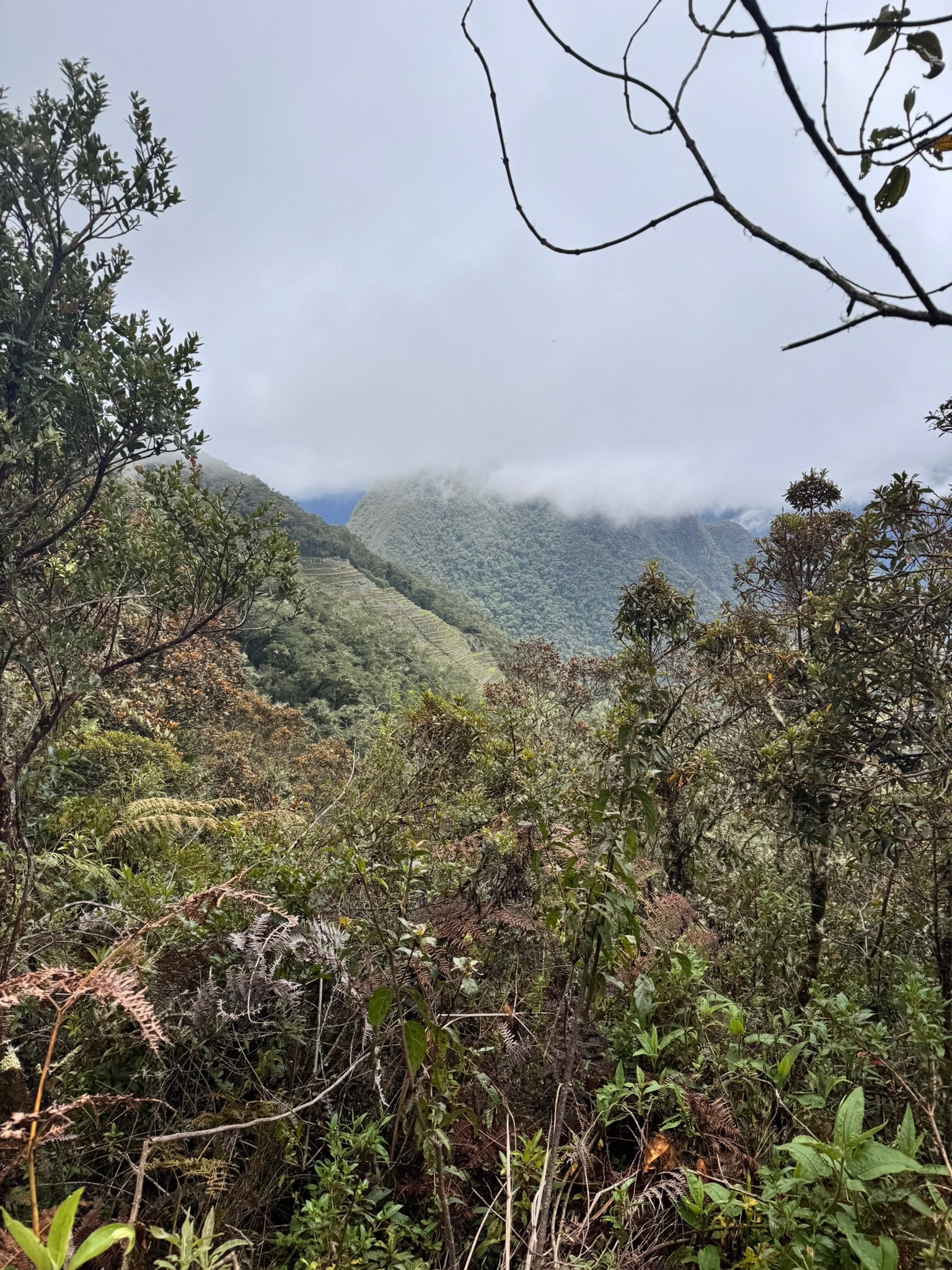
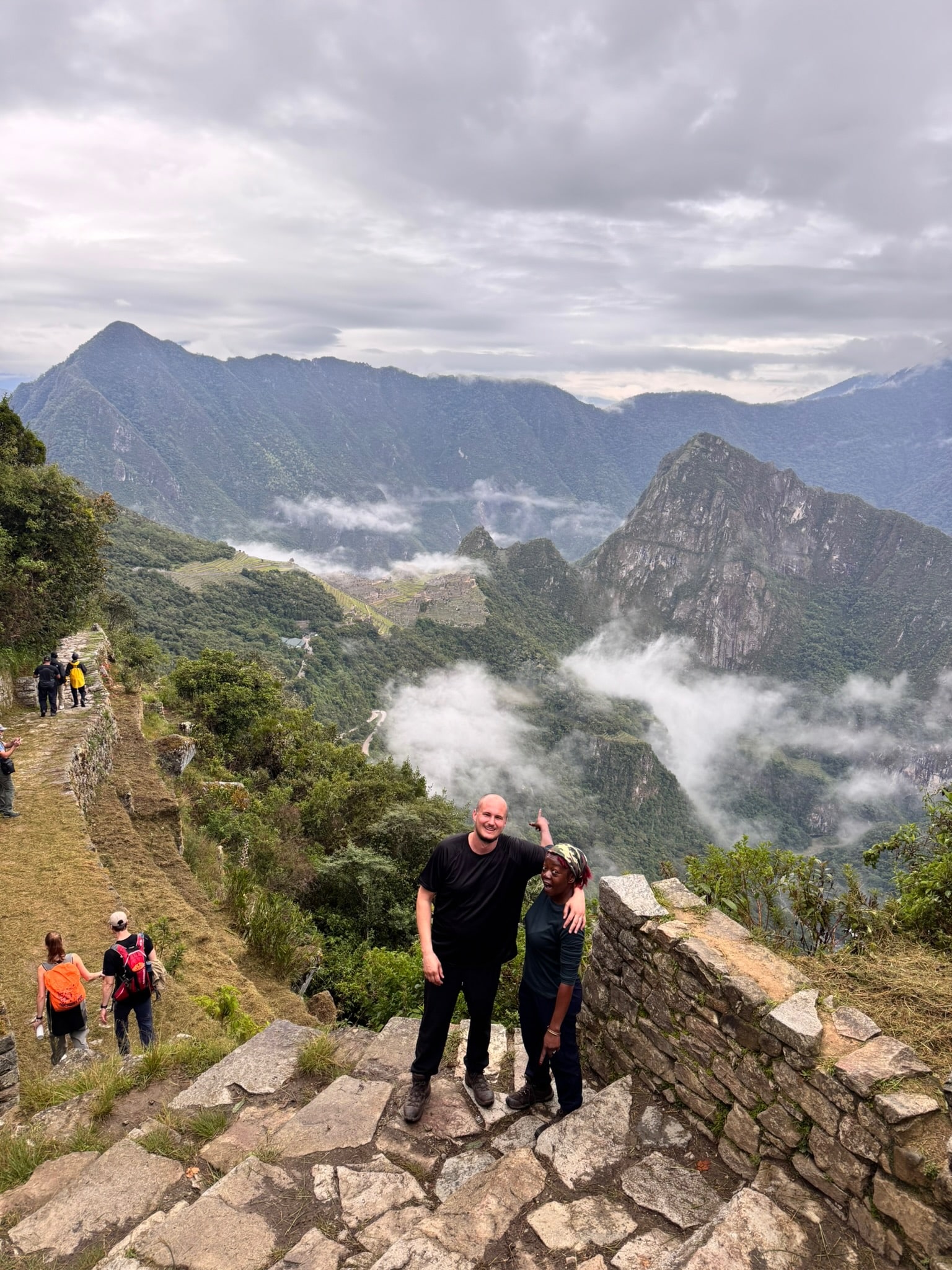
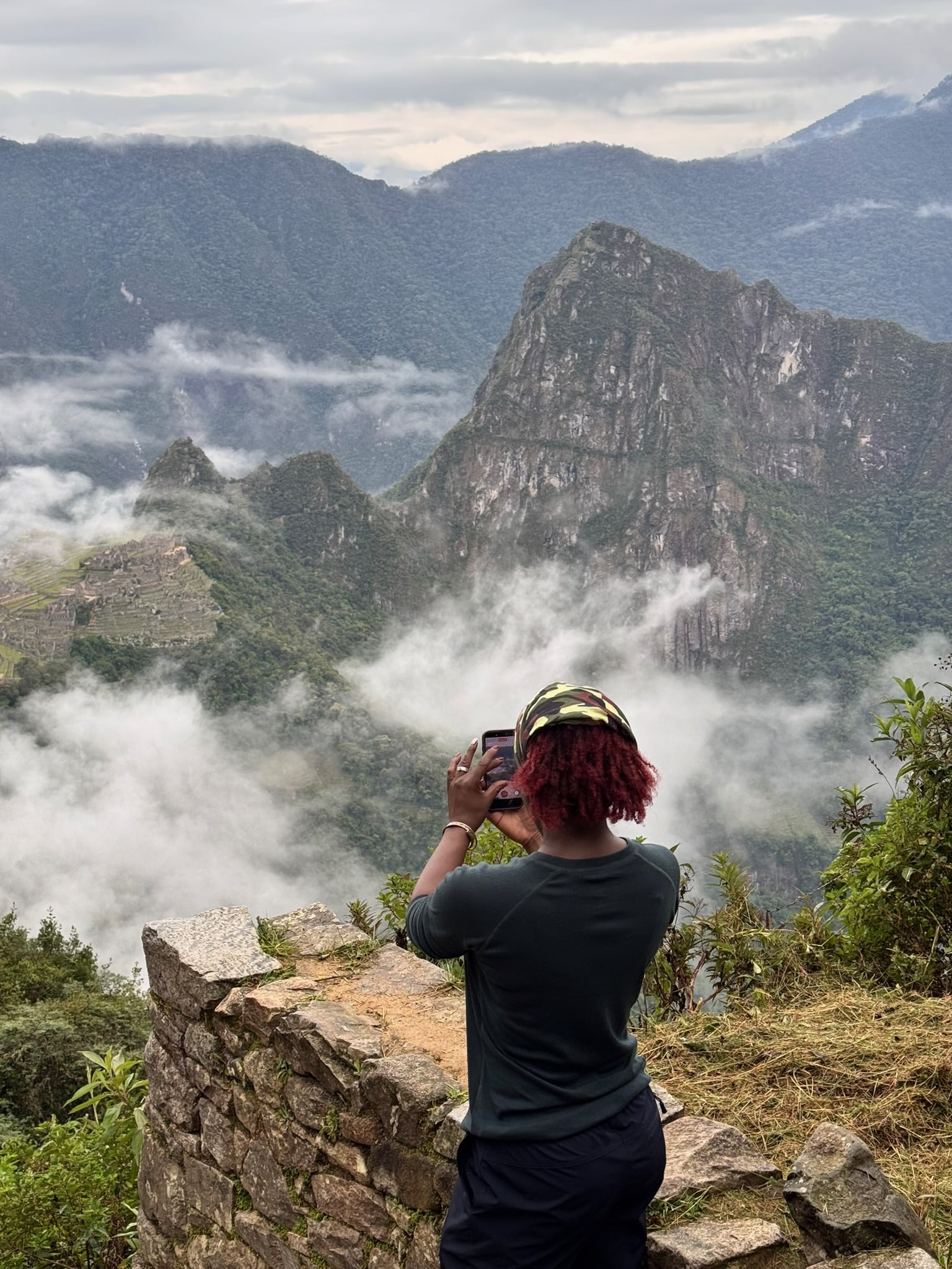
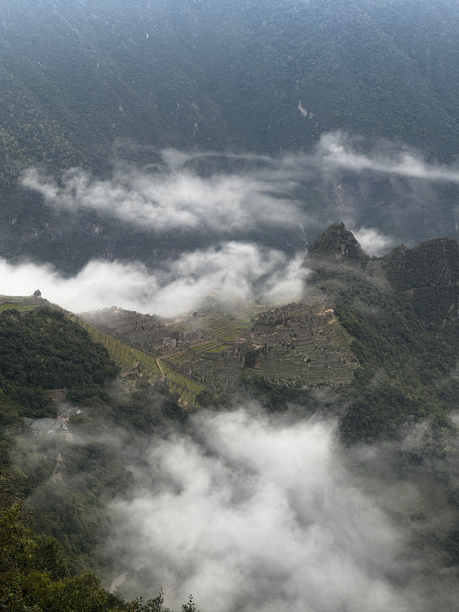
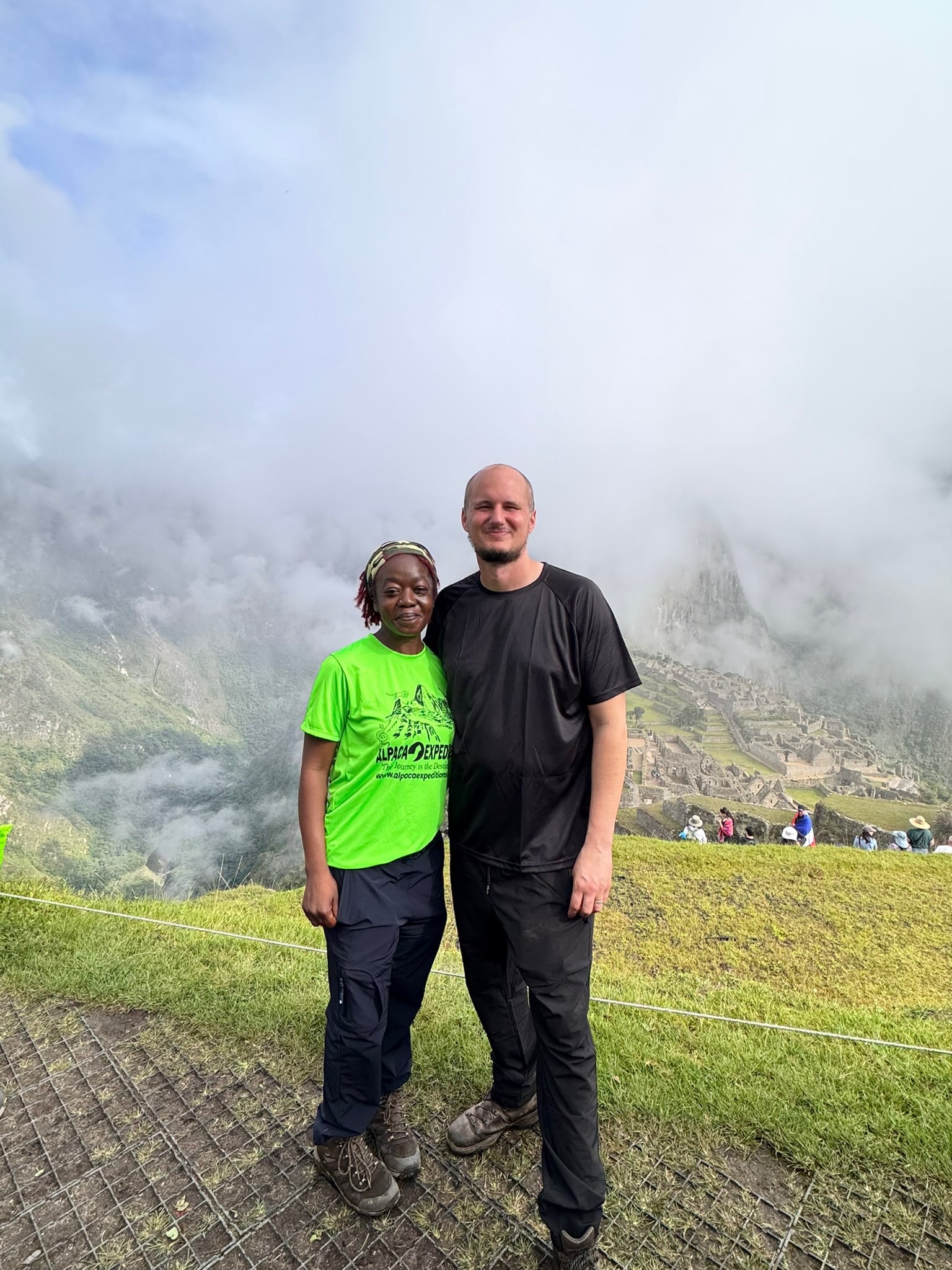
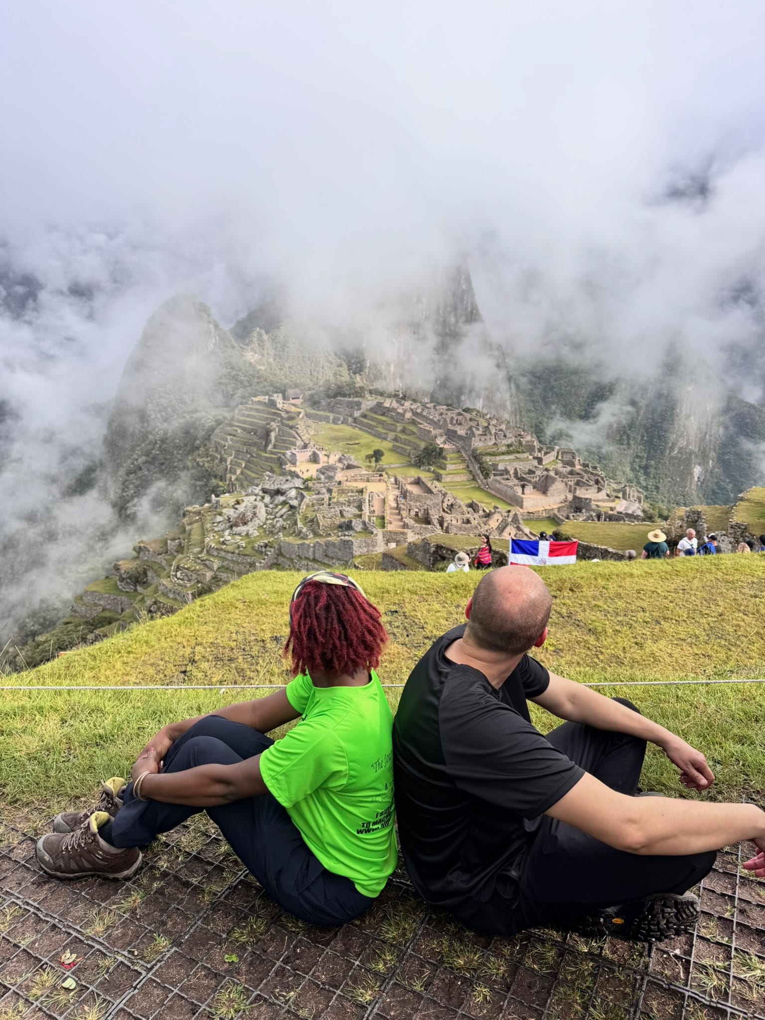
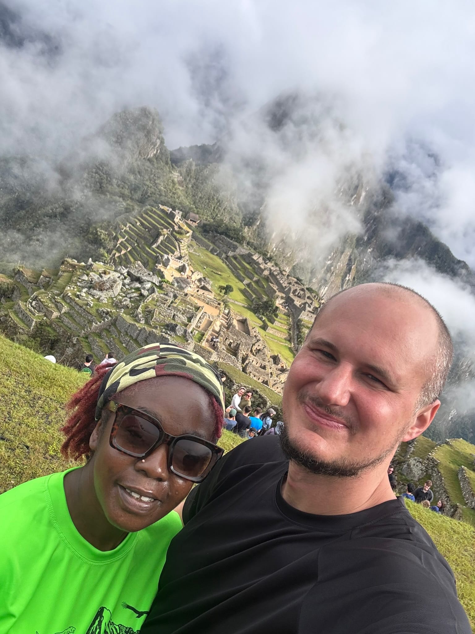
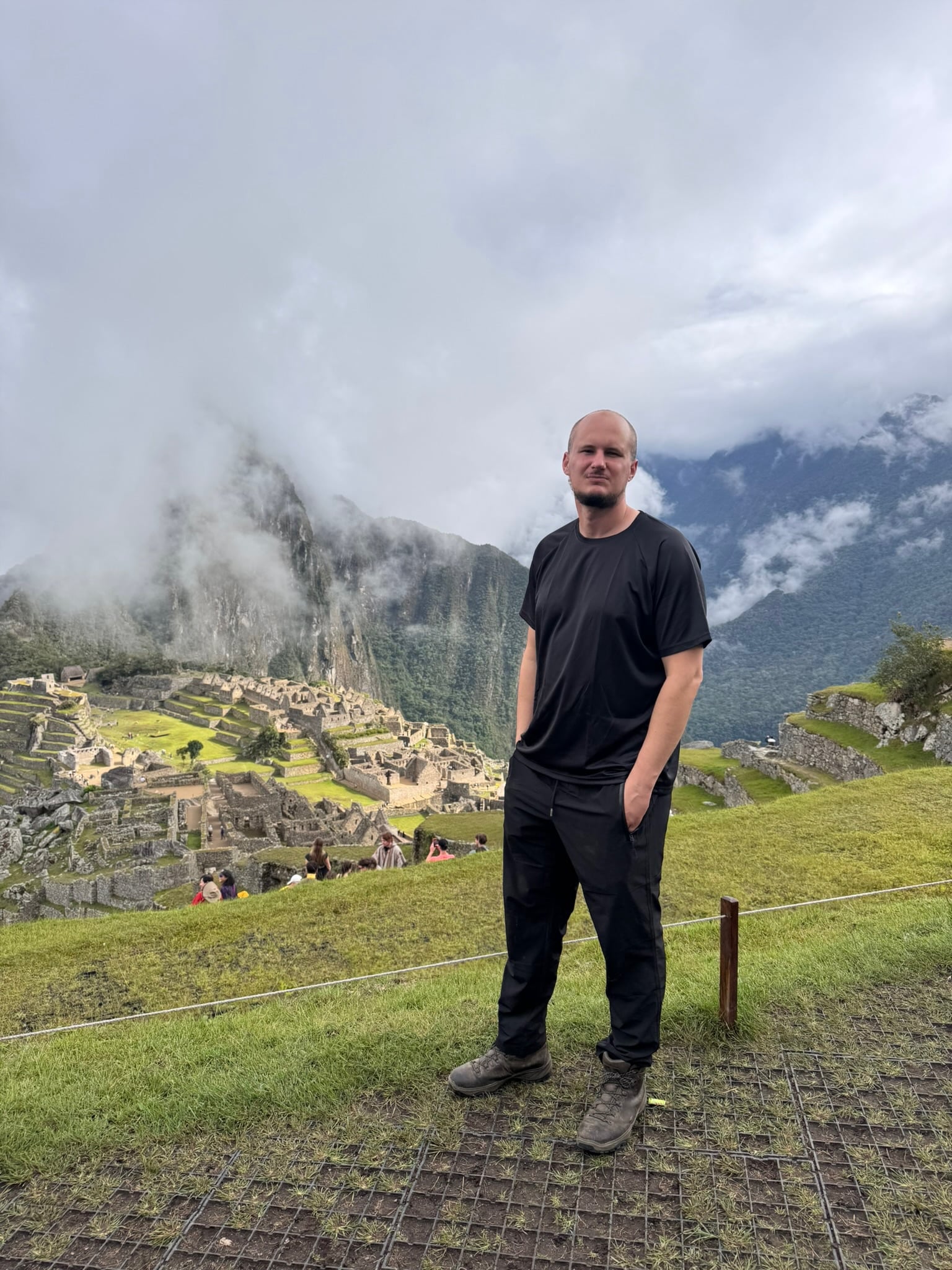
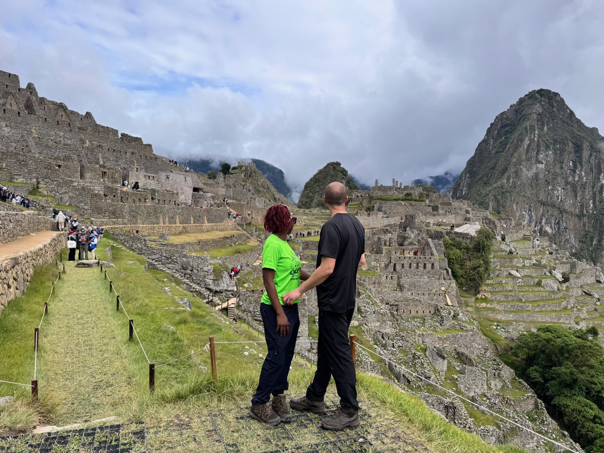
We reach the opening and look out into the abyss. Then, almost miraculously, the mist clears, and on the ridge below us the place we’ve been walking towards for the last three days on the Inca Trail appears: Machu Picchu. Its buildings cling to the mountaintop, surrounded by terraces that dip down into the cloaking fog. Looking closely, we can make out the temples and stone streets built by one of the most powerful civilisations of its time.

Despite the lack of sleep and our aching feet, my imagination goes into overdrive. I picture the people who built this magical place, and those who travelled here to trade or on pilgrimage, stepping on the very same stones we’re standing on right now. Then I think about those who brought it to fame once again, earning it its rightful place as a wonder of the world.
And then, as usually happens (I am a writer, after all), my thoughts drift beyond what we can see and what we know, towards what could be. If a place like this could lie hidden beneath the jungle for centuries, what else might still be out there?
Of course, Machu Picchu was only the destination. Along the way, we passed several Inca sites, each one different, each one magical, and all of them unknown to me before we set foot on the Inca Trail.
Day One on the Inca Trail: Kilometre 82 to Ayapata
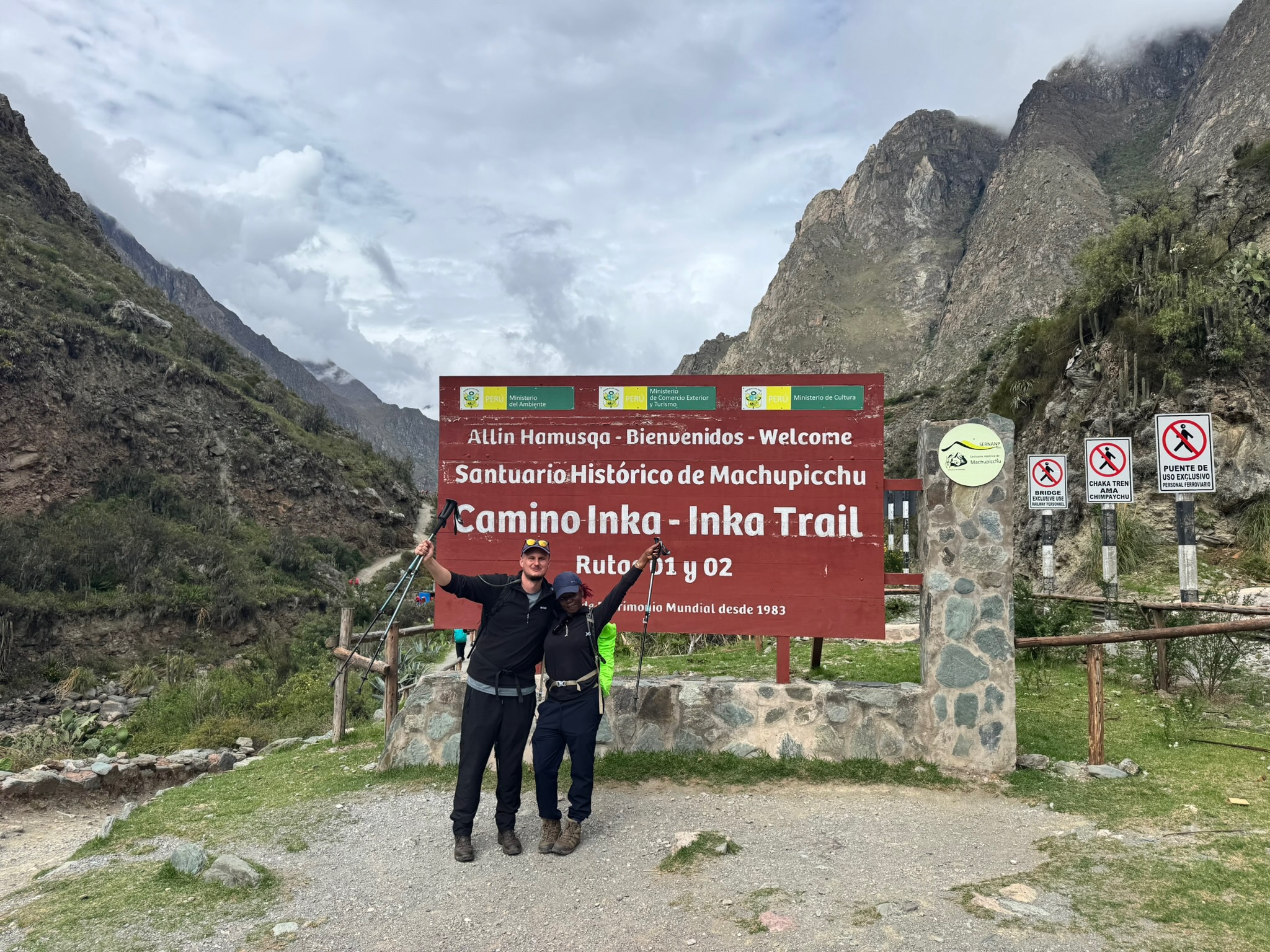
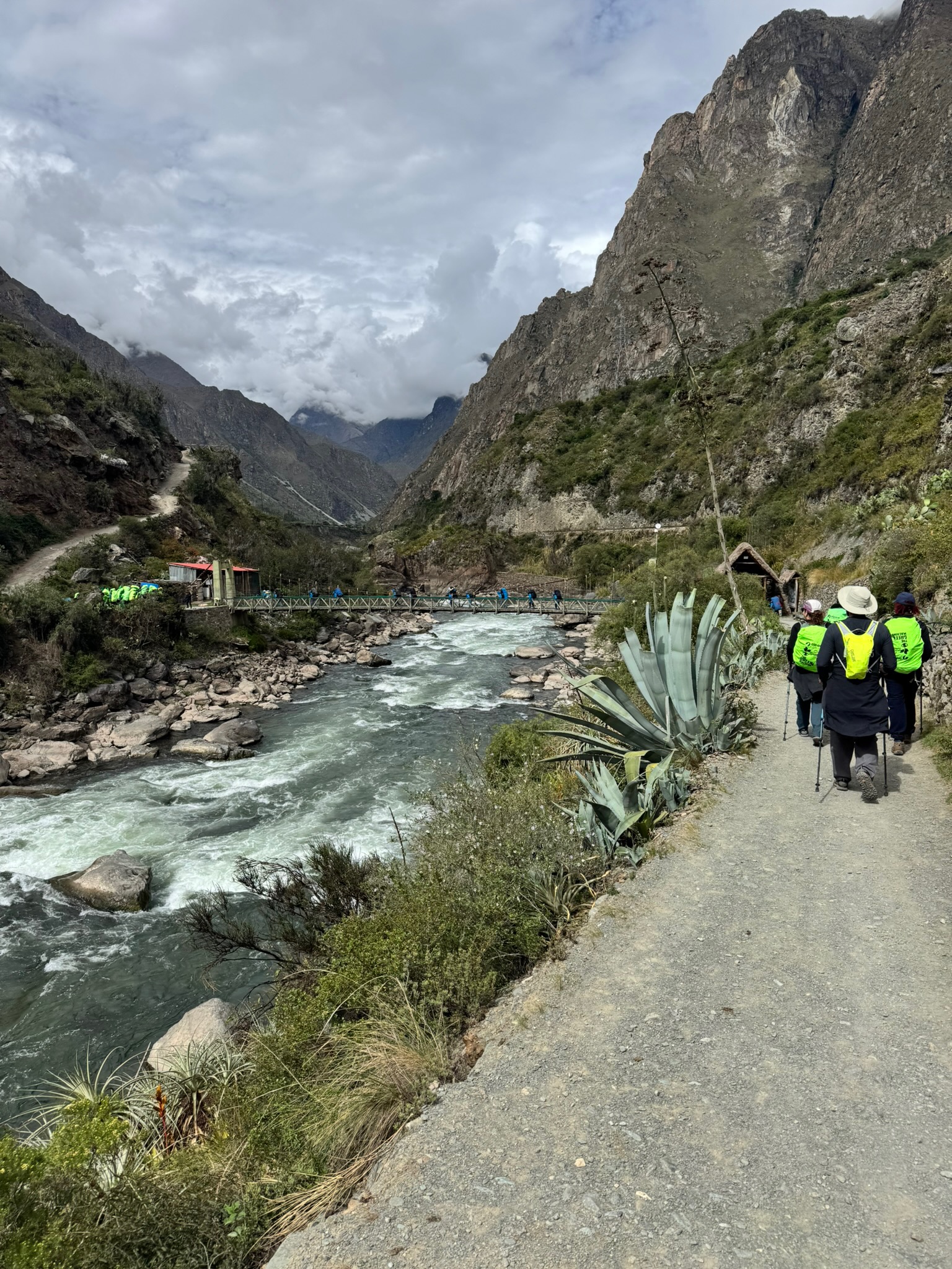
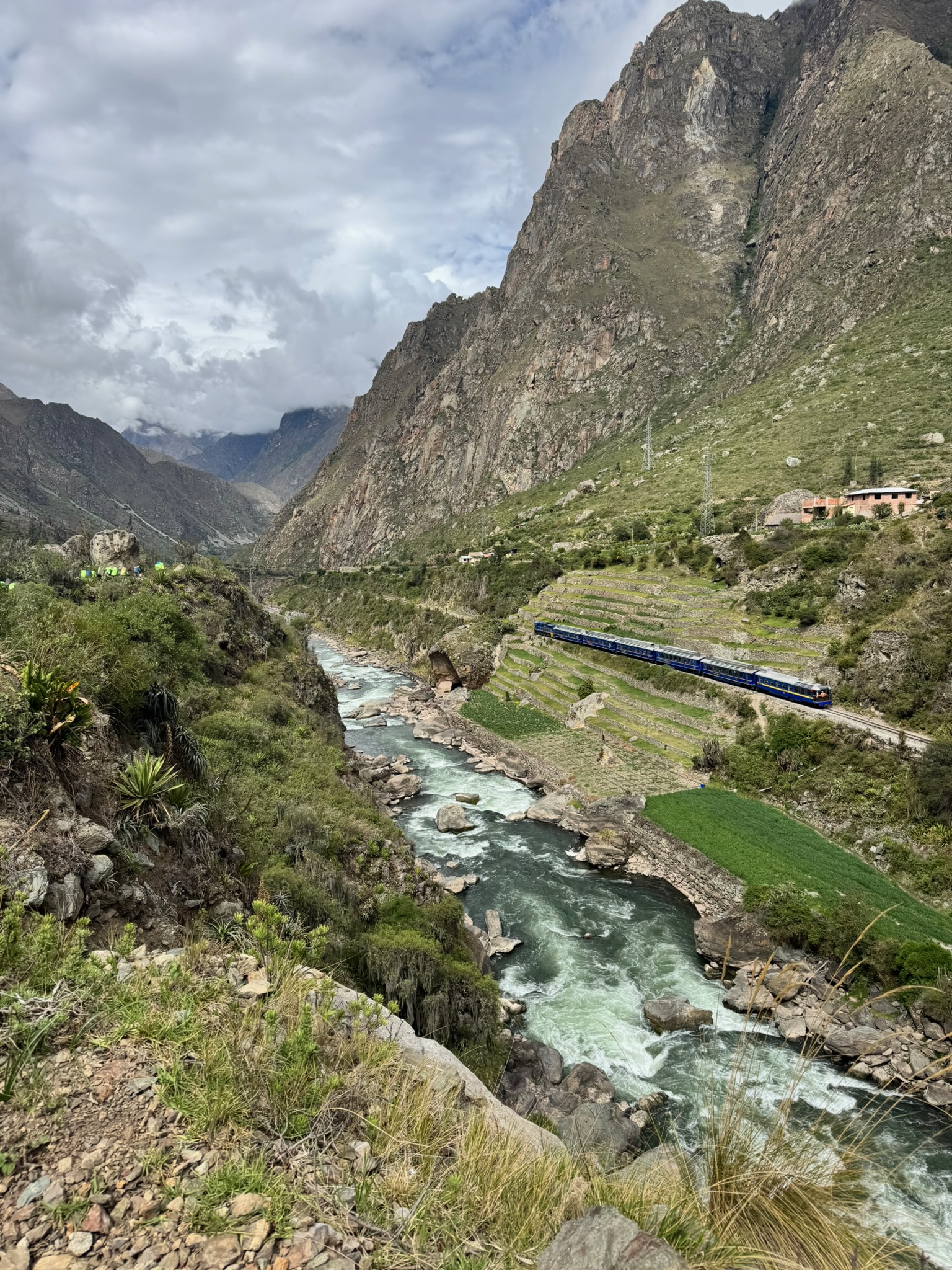
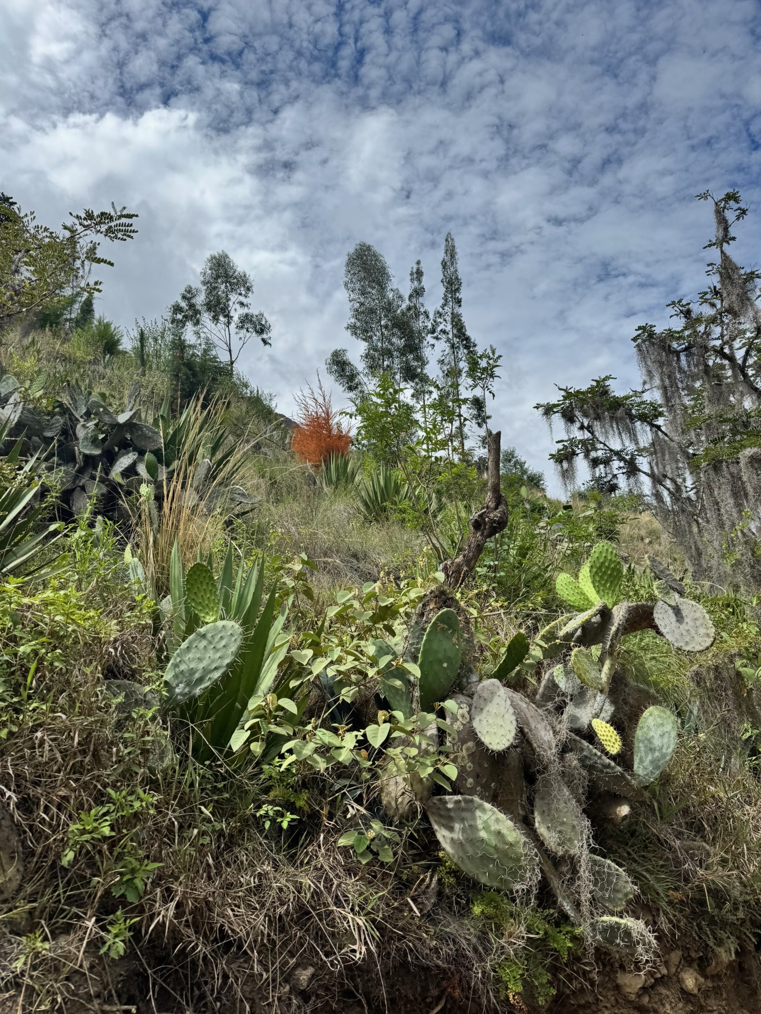
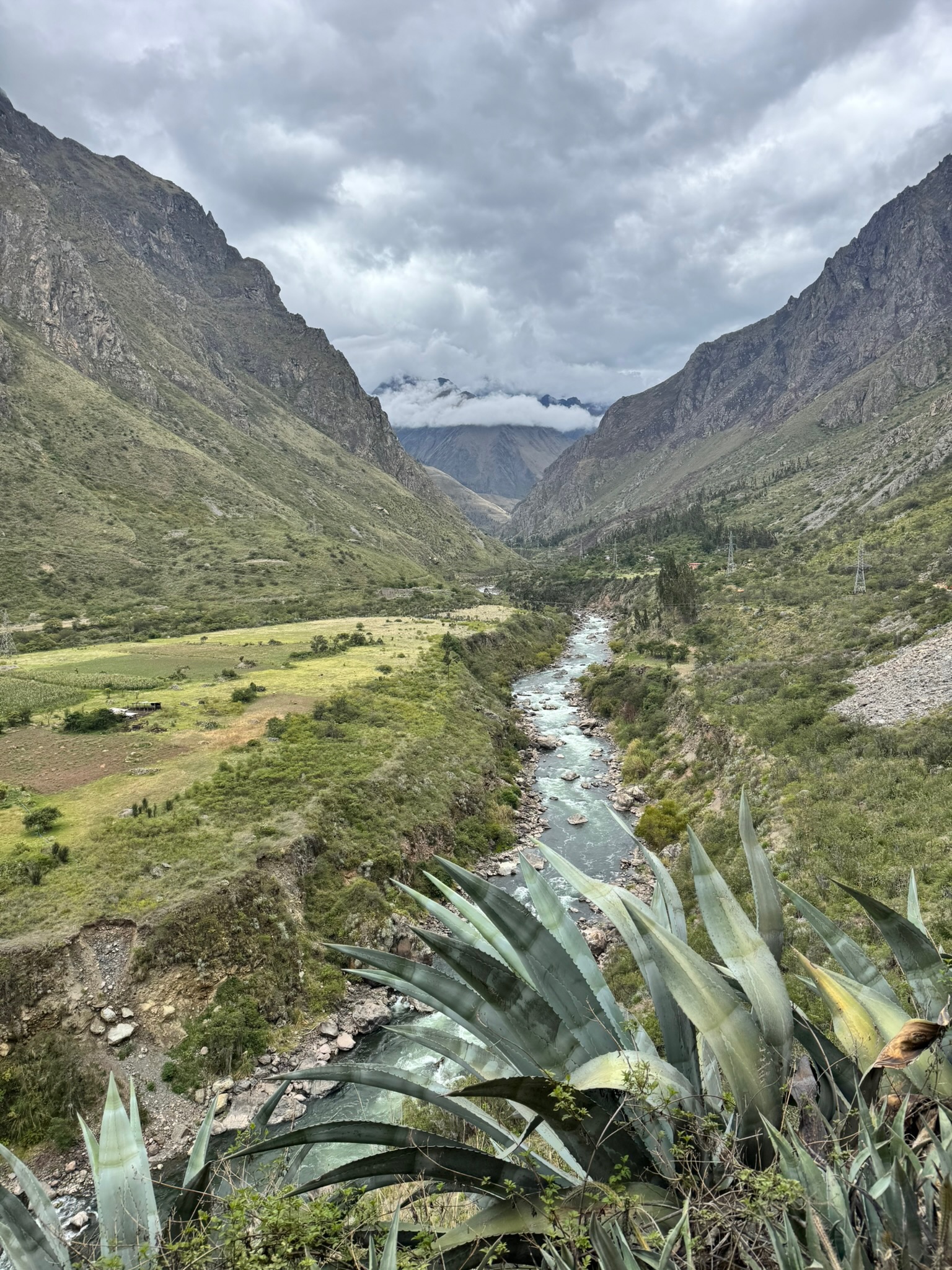
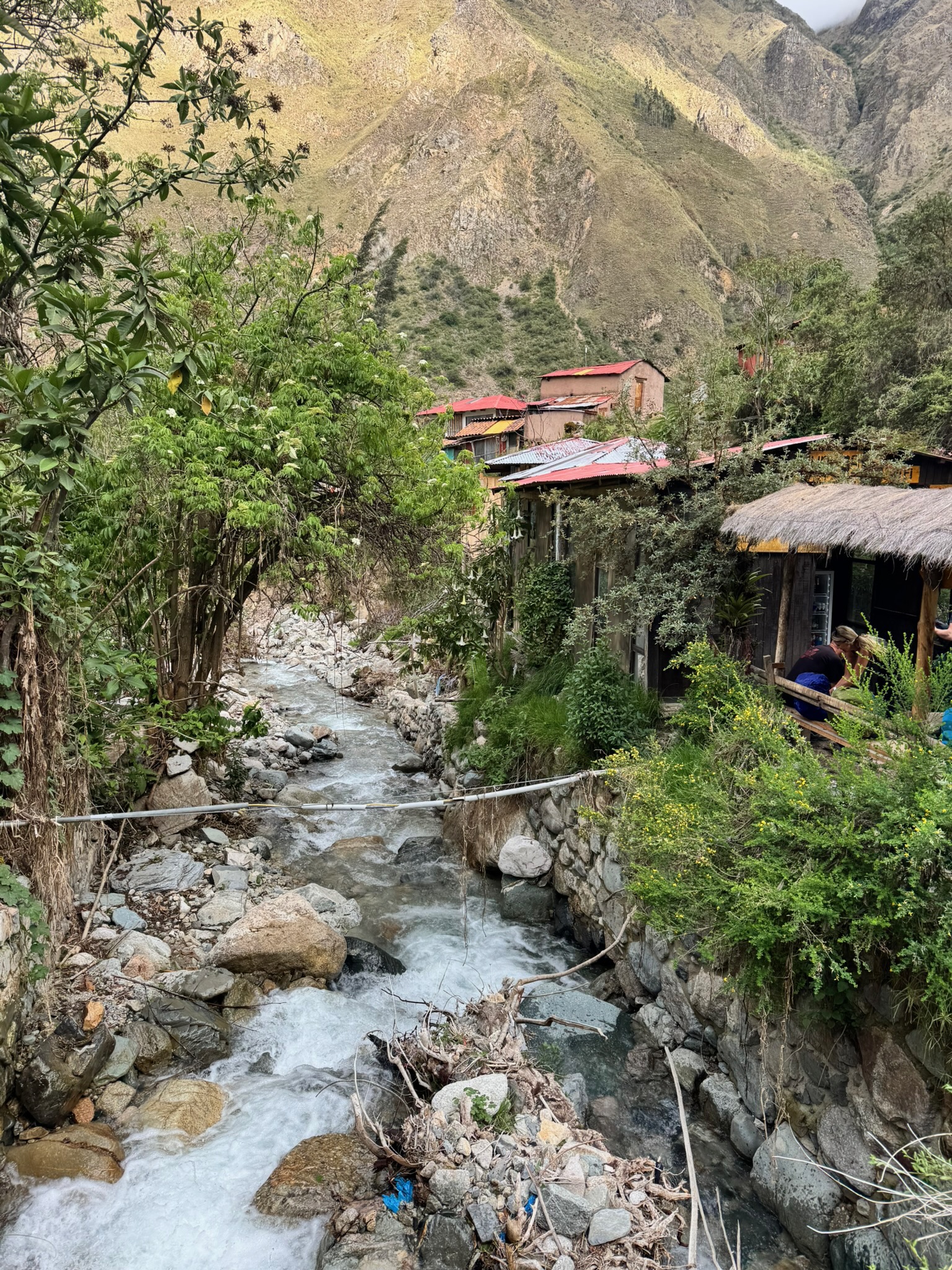
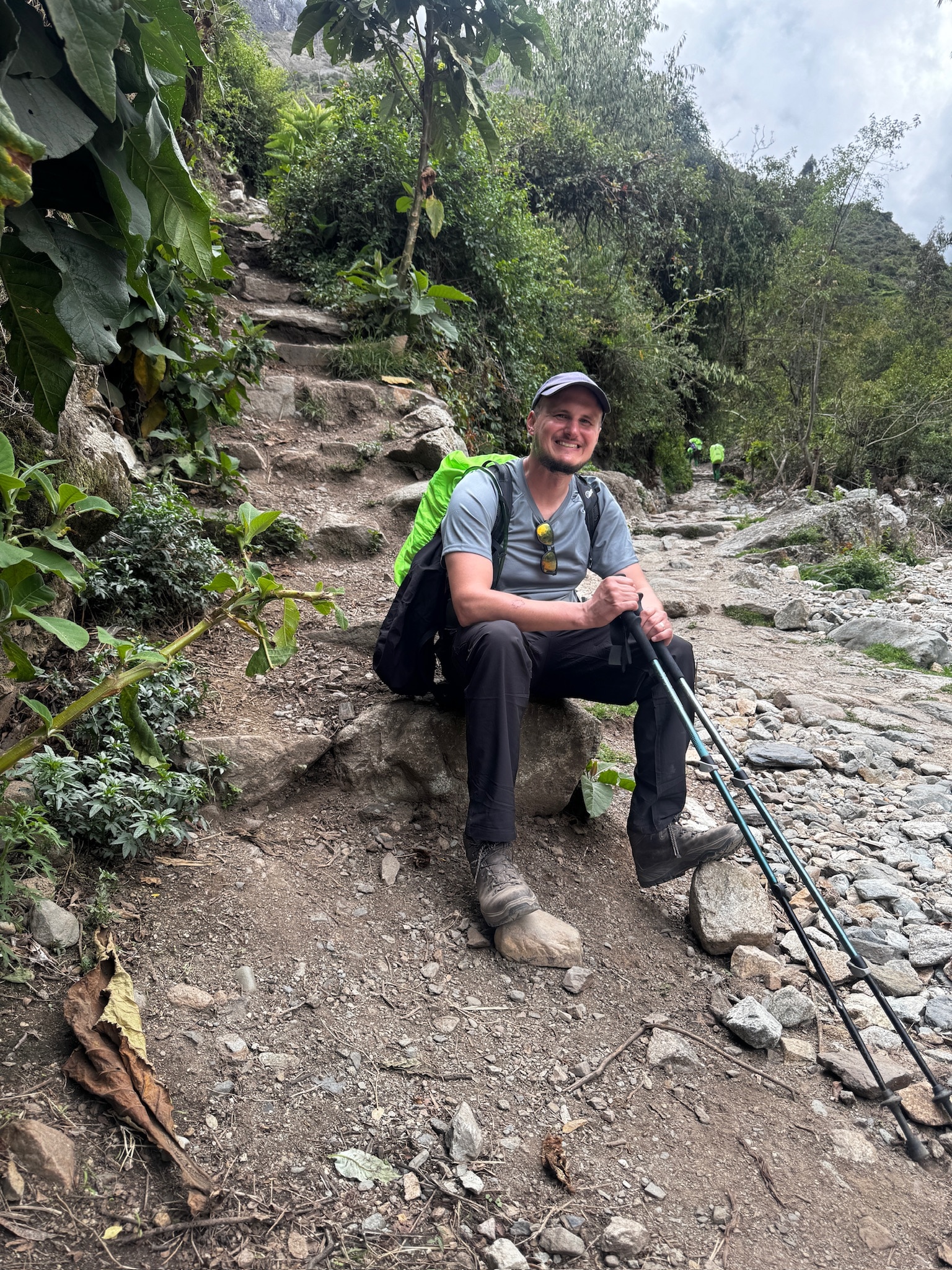
The trail started at Piscacucho, a small village better known as Kilometre 82. We met our guides and the group we’d be walking with, then headed off into the wilderness. The first stretch follows the banks of the Urubamba River and is fairly flat and dry. Cacti grow beside the path, and the train to Aguas Calientes rumbles along the opposite bank.

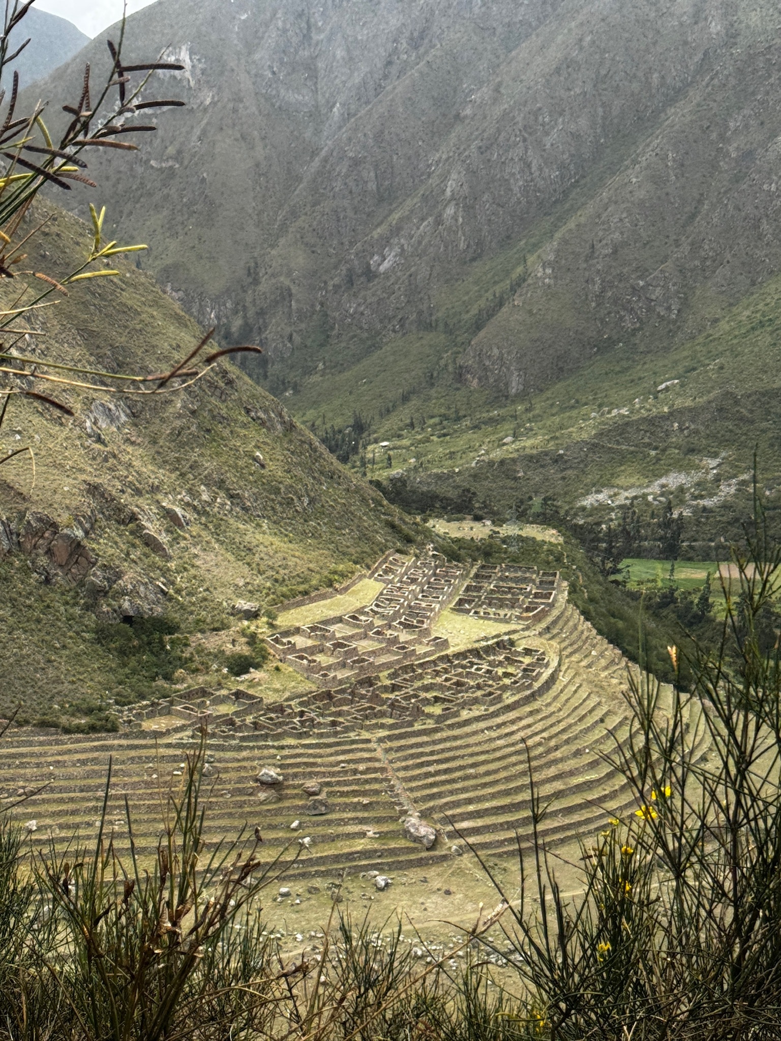
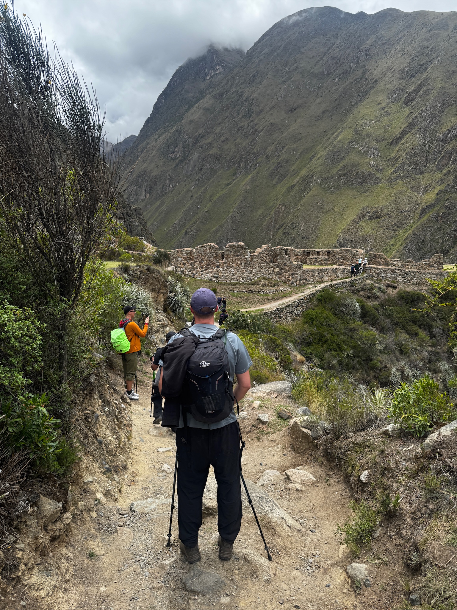
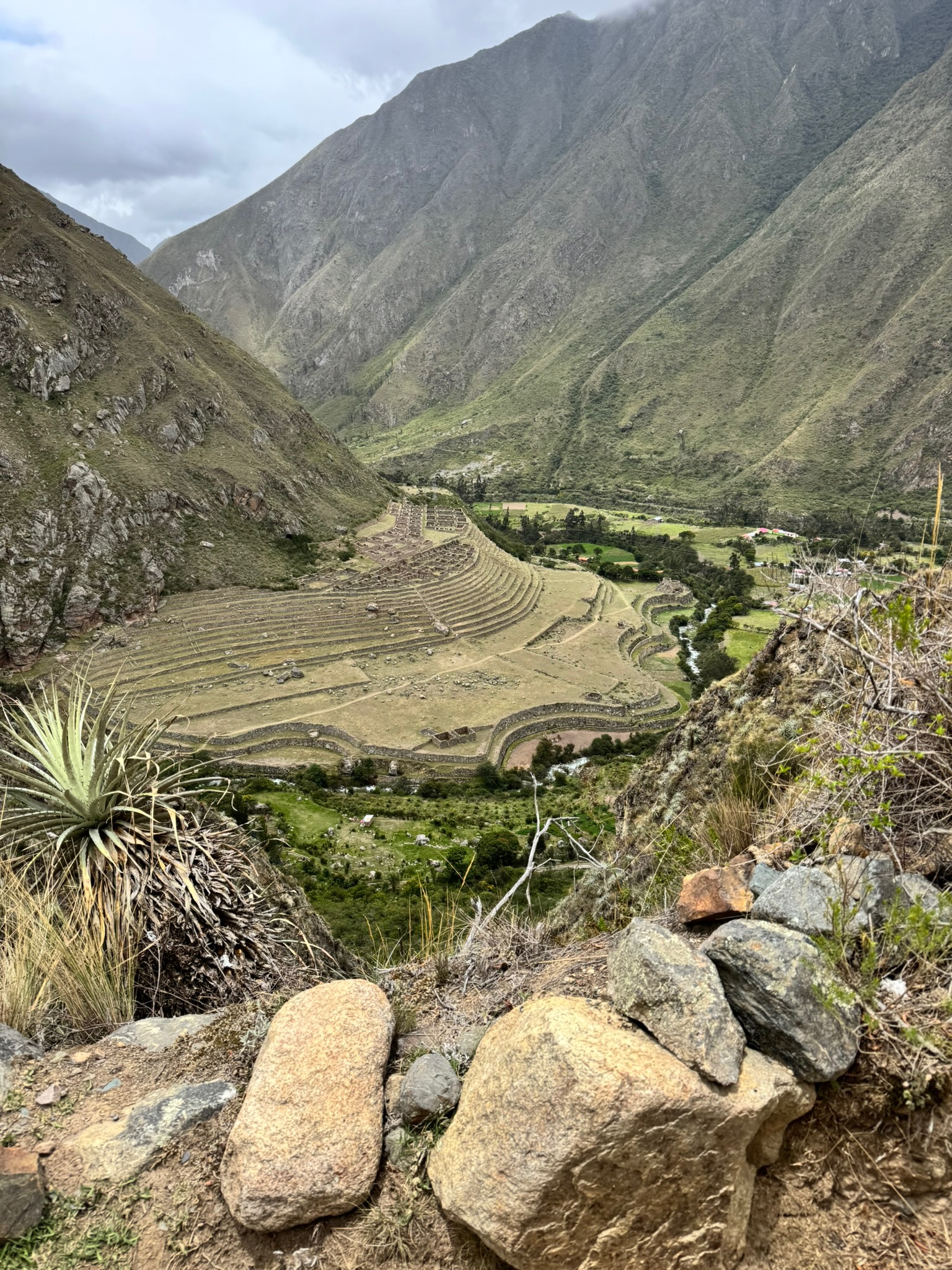
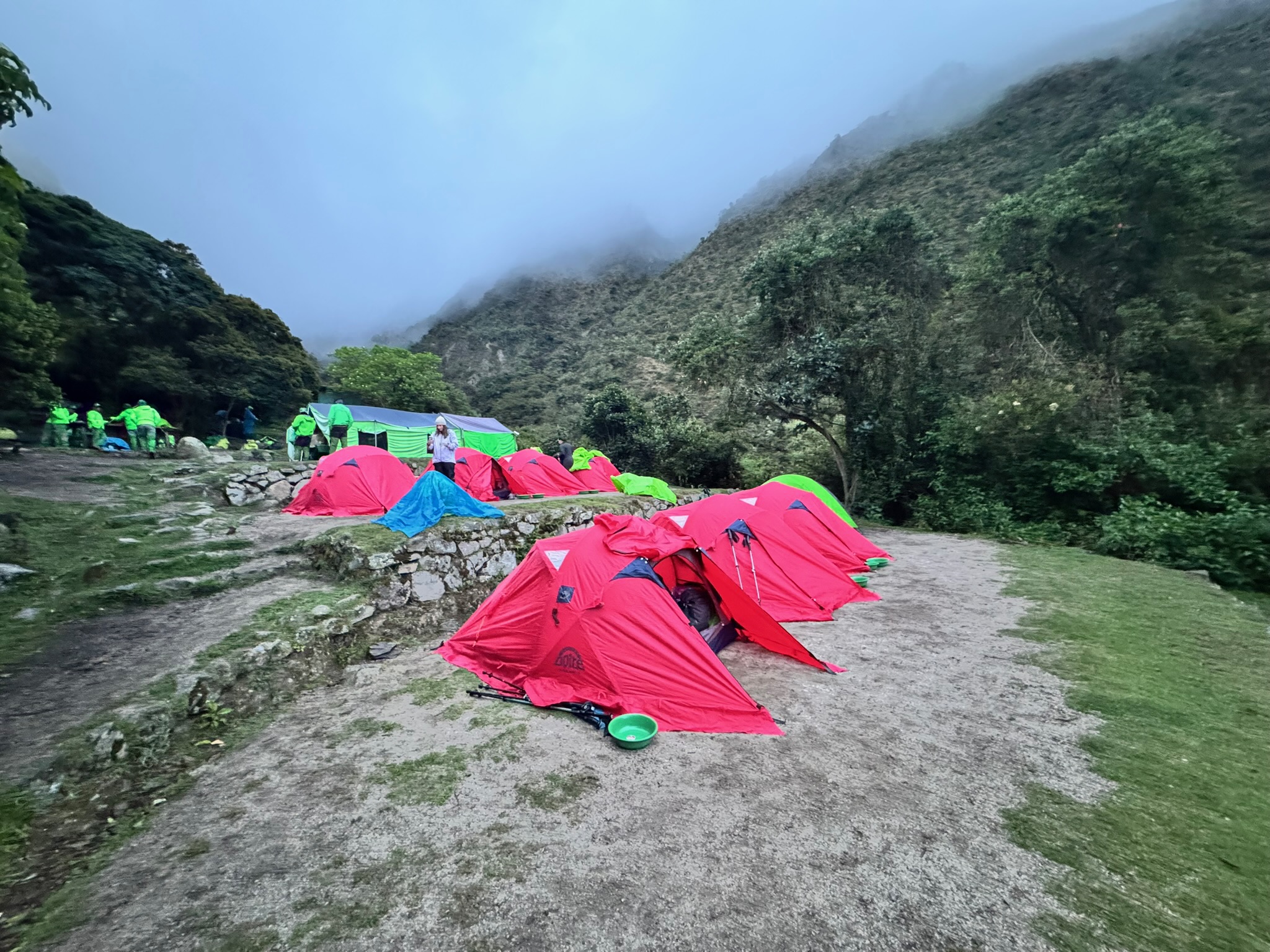
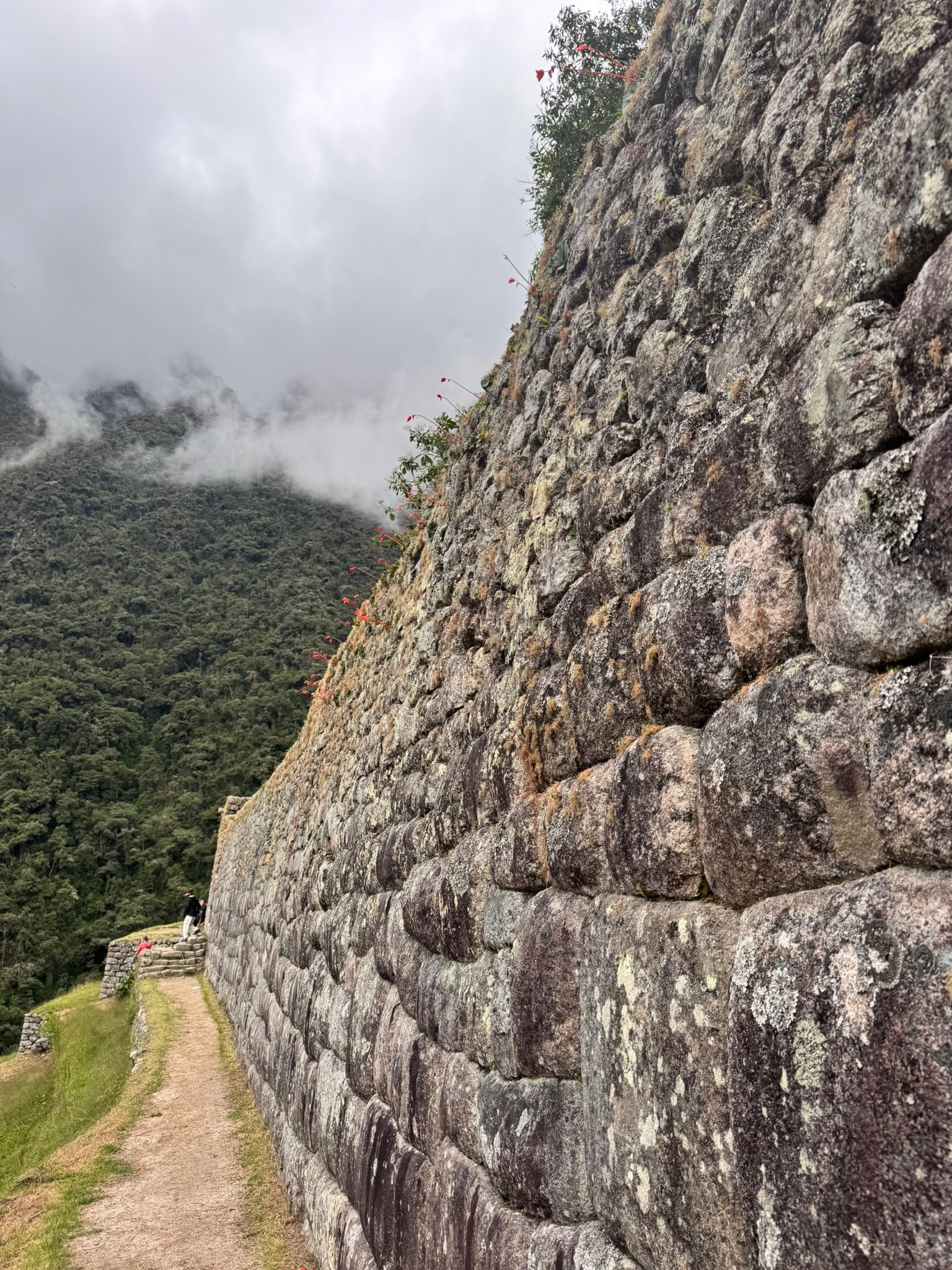
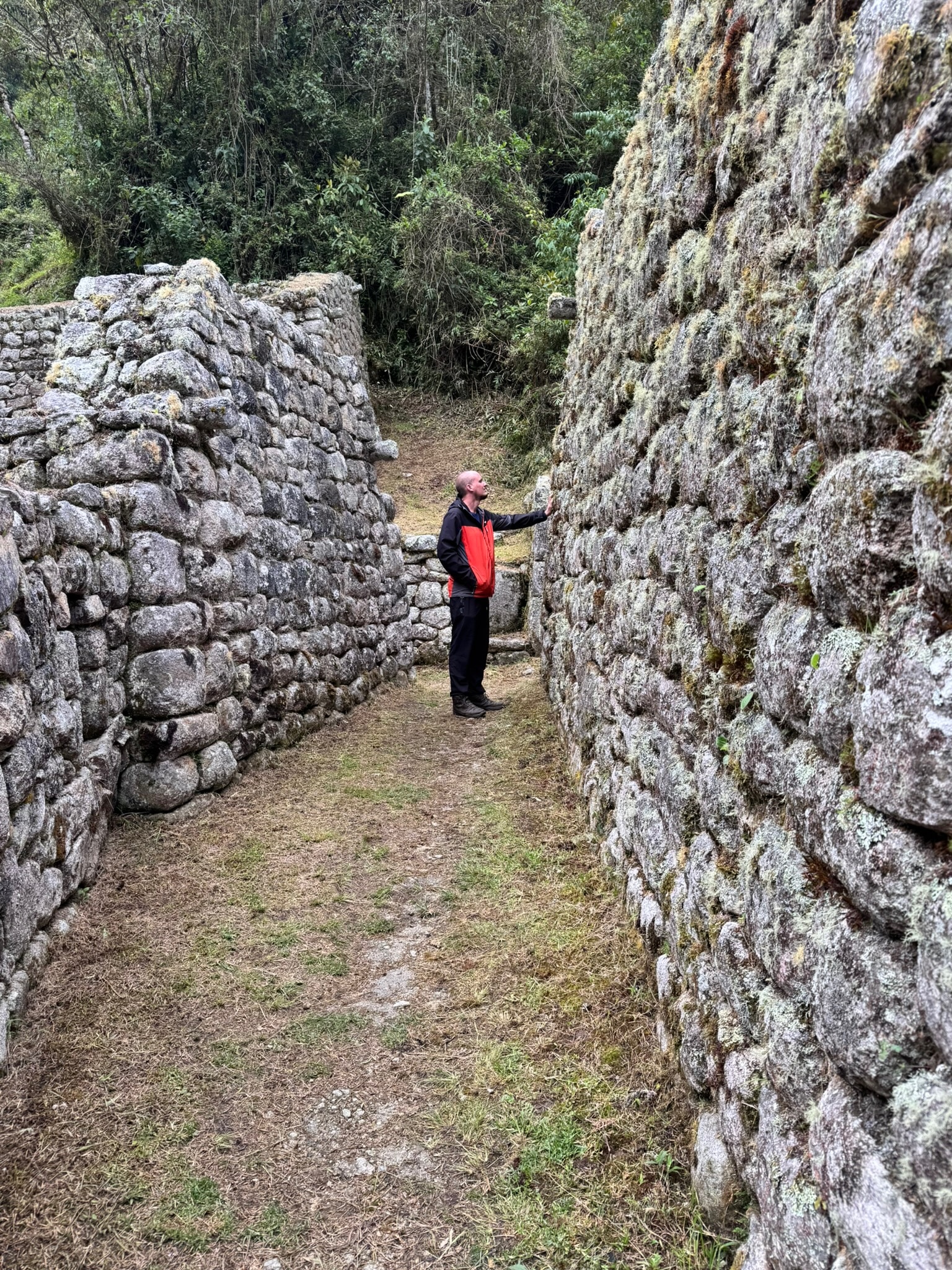
From there, the trail began to climb towards Willkaraqay, a fort or lookout perched above Patallacta, a large terraced site in the valley below that was probably a farming and supply hub. This was our first chance to walk between the walls of an Inca site, and it didn’t disappoint. After a few more hours of climbing, we reached Ayapata, our camp for the night.


The Porters: The Lifeblood of the Trail
I couldn’t write about this trail without mentioning the team that works behind the scenes to make it happen. A small army of porters carries the tents, food and equipment ahead of us, racing along the trail at a surprising speed. These people are the lifeblood of expeditions like this, whether here in the Andes or anywhere else in the world. They know the trail inside out, and without them, what we did simply wouldn’t be possible.

Day Two: Dead Woman’s Pass
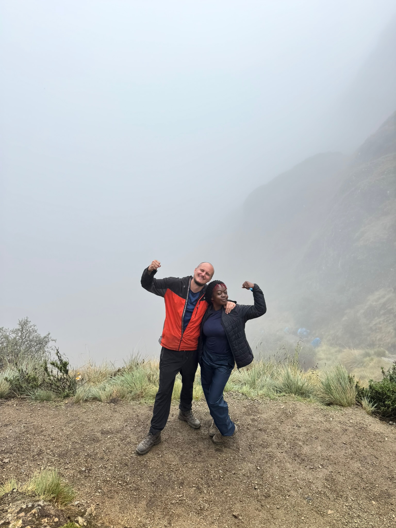
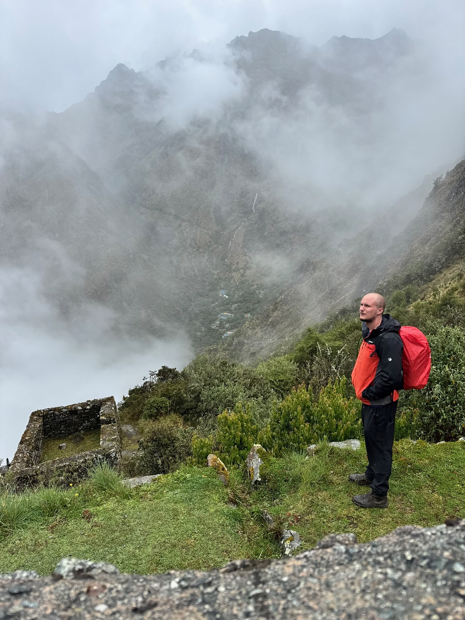
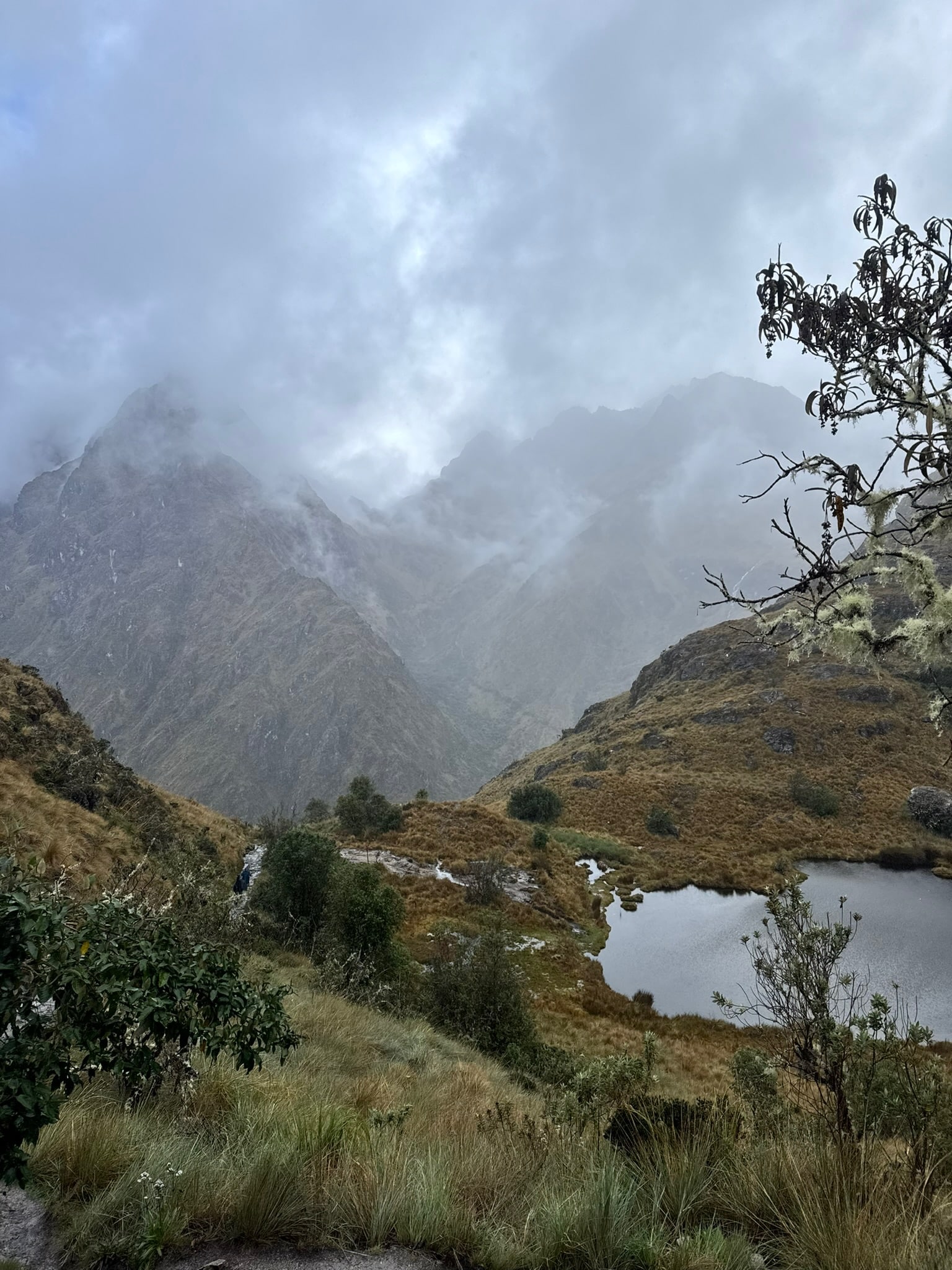
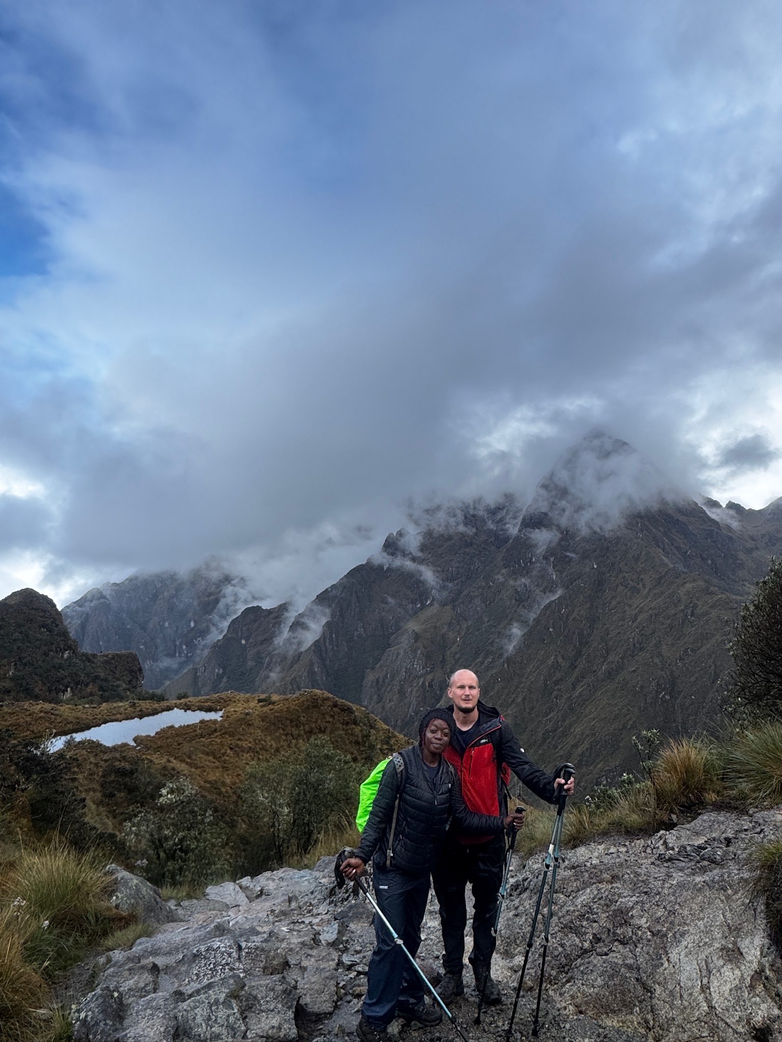
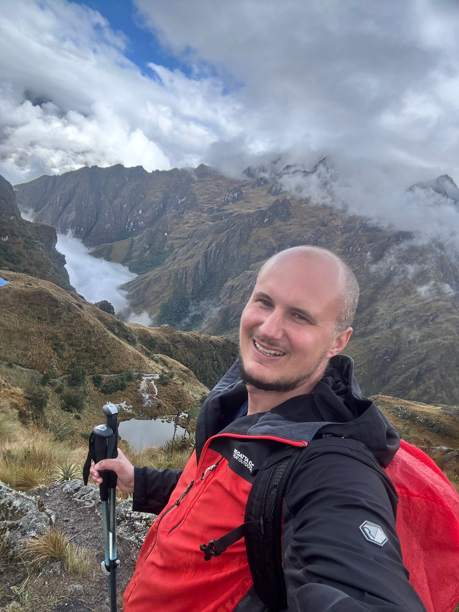
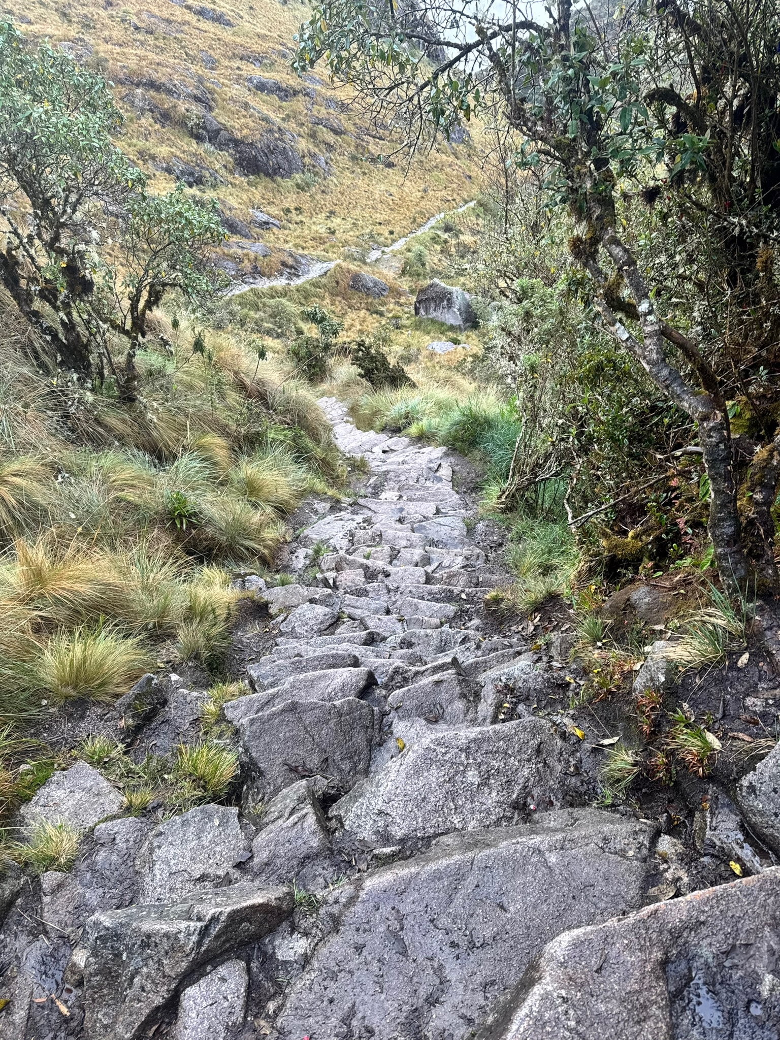
Day two was set to be the longest, toughest and highest day of the trek. After an early start, we reached Dead Woman’s Pass, or Warmiwañusca in Quechua, by about 11am. The pass is said to take its name from the shape of the ridge, which, seen from below, looks like a woman lying on her back. It’s the hardest climb of the trek, reaching over 4,200 metres, with miles of steep steps on both the ascent and the descent. The weather didn’t make it any easier, cloaking the whole place in thick fog.

Runkurakay: A Resting Place Above the Valley
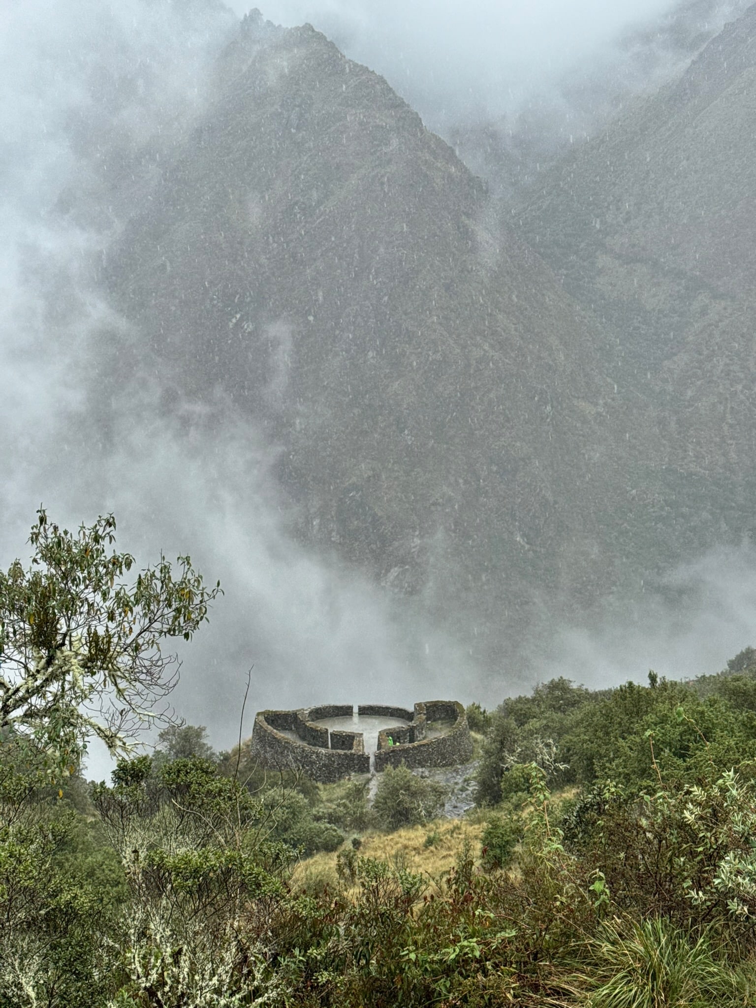
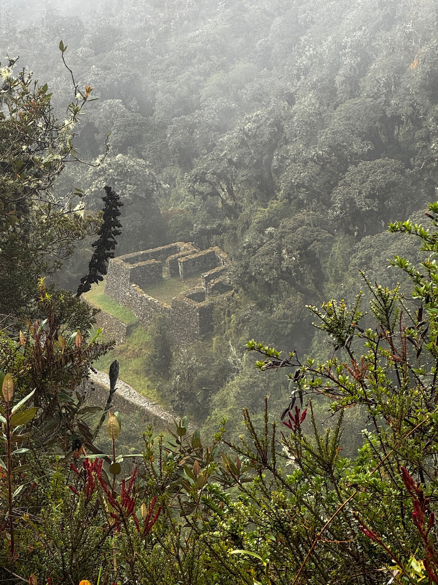
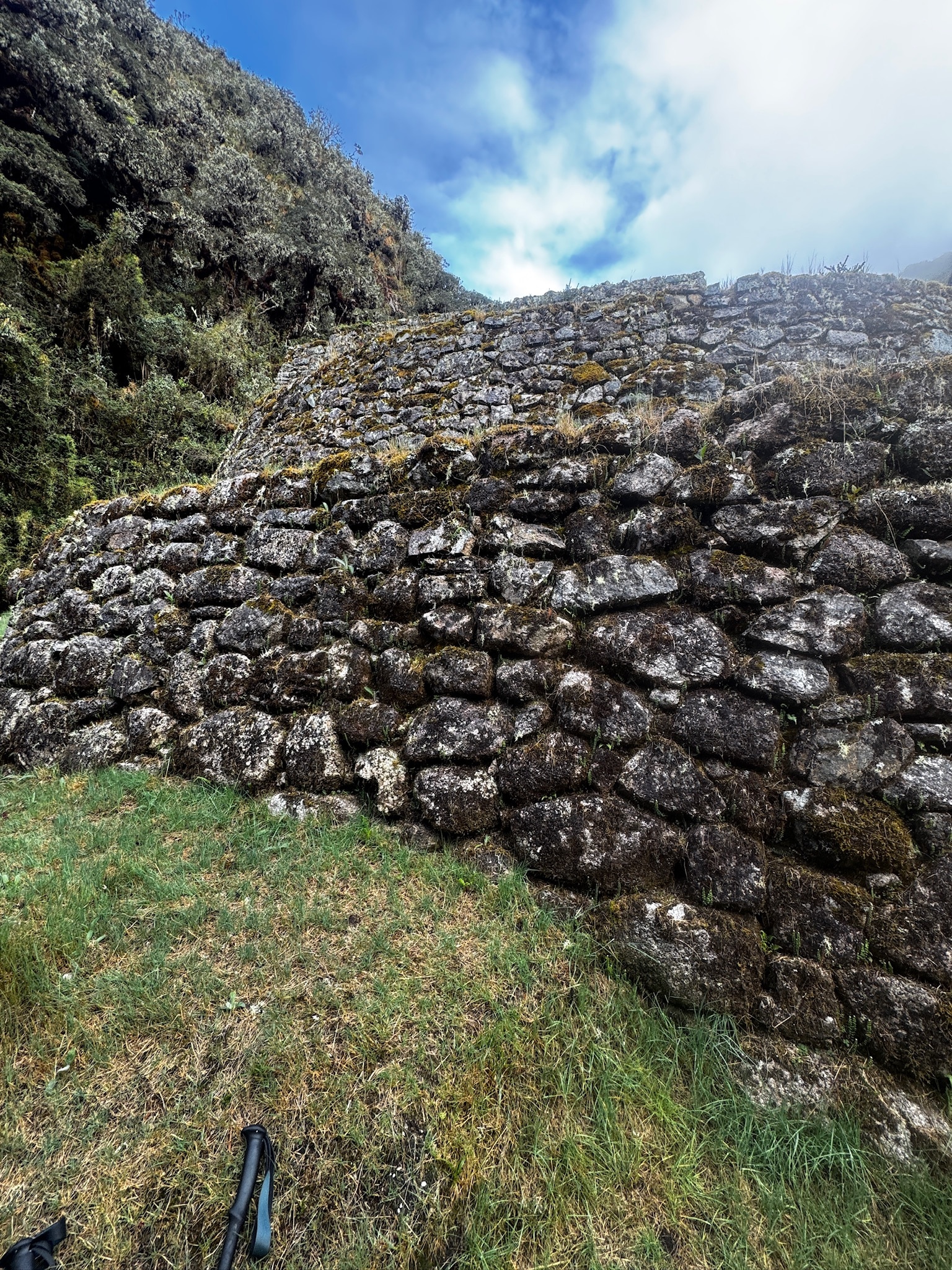
But over we went, inching our way up and then down the other side, before climbing again towards the day’s second pass. Halfway up this ascent we explored another Inca site, and it was probably one of my favourites. Runkurakay is a small, round structure perched above the valley, and it’s unlike anything else on the trail. Its name is usually translated as “basket-shaped”. It isn’t as grand as some of the other sites, but to me that’s where the magic lies. Archaeologists think it was a tambo, a resting place where travellers and messengers could shelter on their way over the pass, although our guide told us it was also built to catch the rising sun on the solstice.

Sayacmarca: The Inaccessible Town
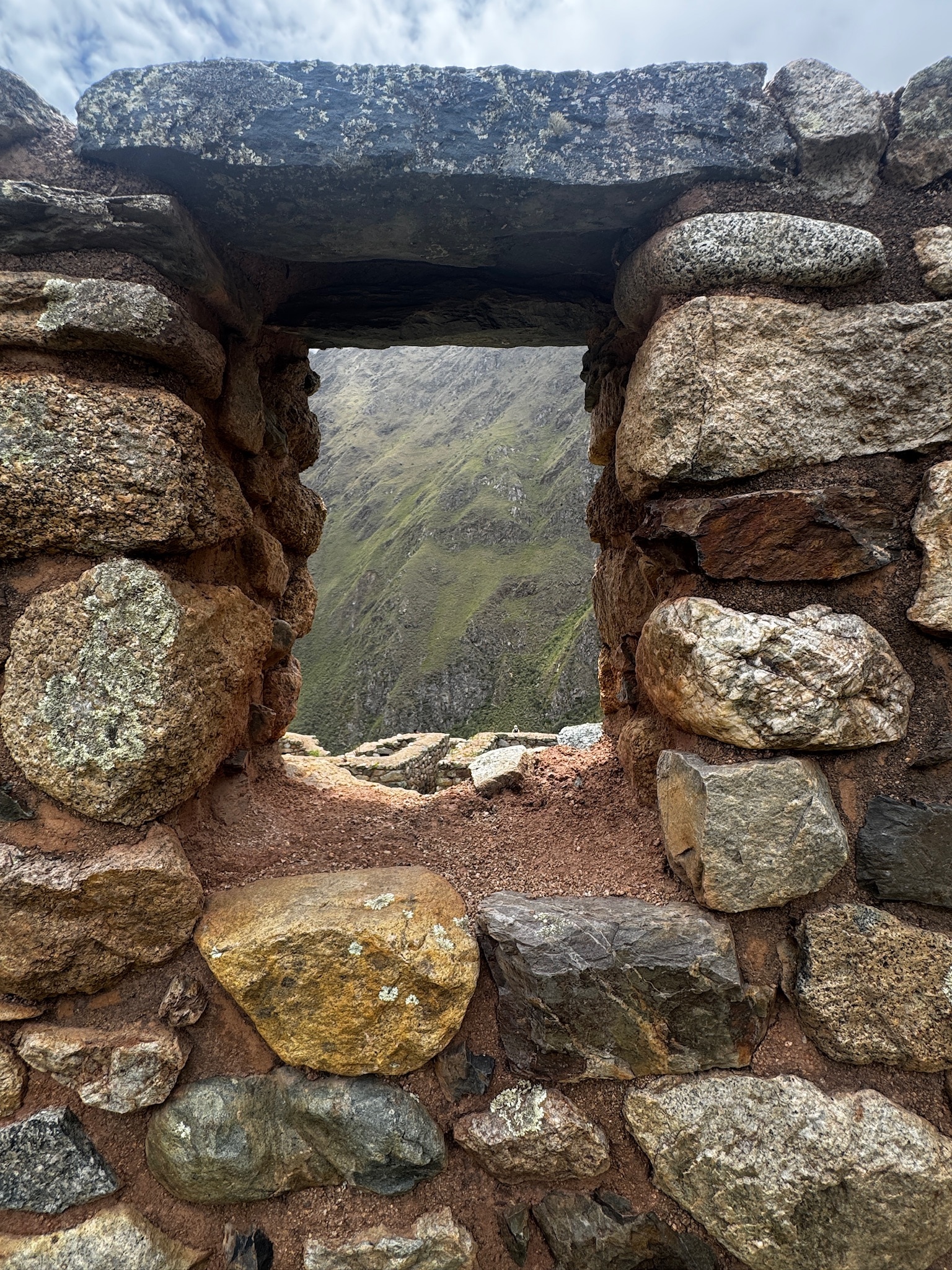
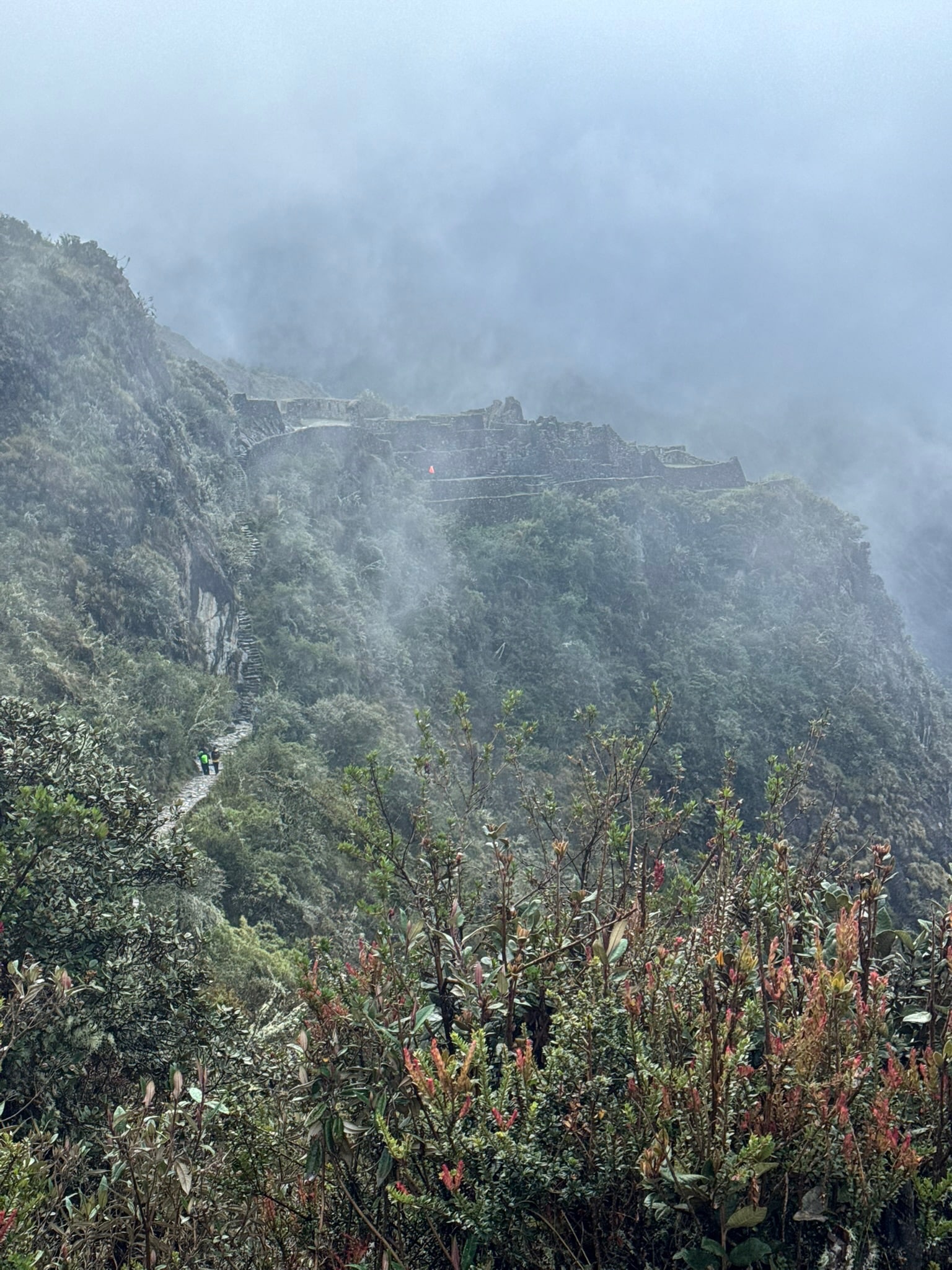
Over the second pass, the trail led us down to Sayacmarca, and it couldn’t have been more different. Where Runkurakay is small and modest, Sayacmarca is a tight cluster of walls and terraces clinging to a rocky spur, reached by a steep stone staircase. Its name means “inaccessible town”, and once you’re standing at the top of those steps, looking down at the trail winding beneath it, you understand why. Historians still argue over what it was for, which only adds to its mystery.

Lost Beneath the Cloud Forest: Bingham and Fejos
Both of these sites had lain hidden for centuries. When Hiram Bingham came this way in April 1915, four years after he first reached Machu Picchu, he wasn’t walking a well-trodden path. After the Spanish conquest, the Incas abandoned these sites, and the trail linking them slowly disappeared under the cloud forest. Bingham’s team cut their way through, uncovering Runkurakay and Sayacmarca along the way. He called Sayacmarca “Cedrobamba”, meaning cedar plain, but he left much of it buried under vegetation. In the 1940s, the explorer Paul Fejos followed Bingham’s route. He cleared the site, gave it the name we use today, and found ruins that Bingham had missed altogether.
Day Three: The Town Above the Clouds
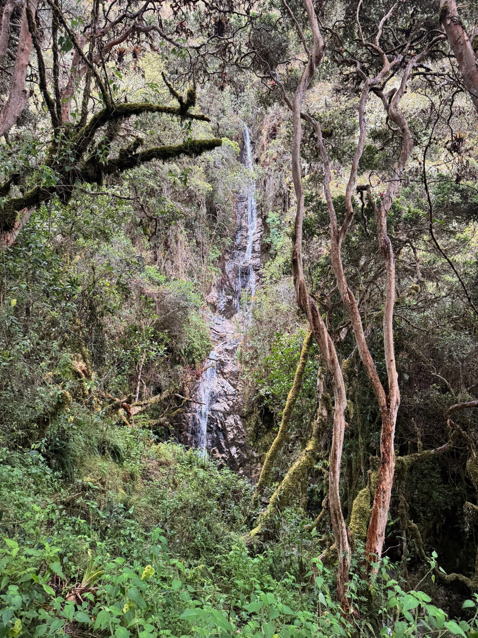
Day three of the trek offered us the most sites, and after the punishing climbs of the day before, there was something almost gentle about the way the trail now ran along the mountainside, with the cloud forest closing in around us.

Phuyupatamarca
Our first stop was Phuyupatamarca, the “town above the clouds”. It sits at around 3,600 metres, and on the morning we arrived the name made perfect sense. Mist drifted up from the valleys below, so the stone terraces seemed to float. The site is built around a chain of stone baths, still fed by running water during the wet season. They’re thought to have had a ritual purpose, a reminder of how sacred water was to the Incas. On a clear day, the views stretch back across the Vilcabamba range towards the snowy peak of Salkantay. We had no such luck, though, as the cloud kept the whole place wrapped up tight.
Intipata
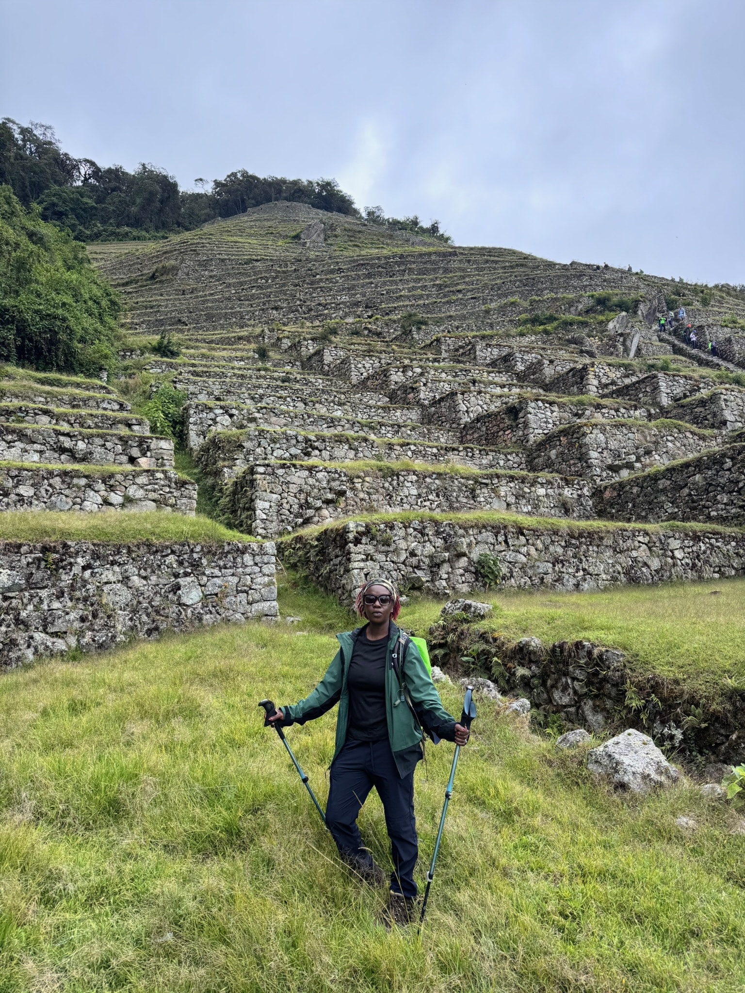
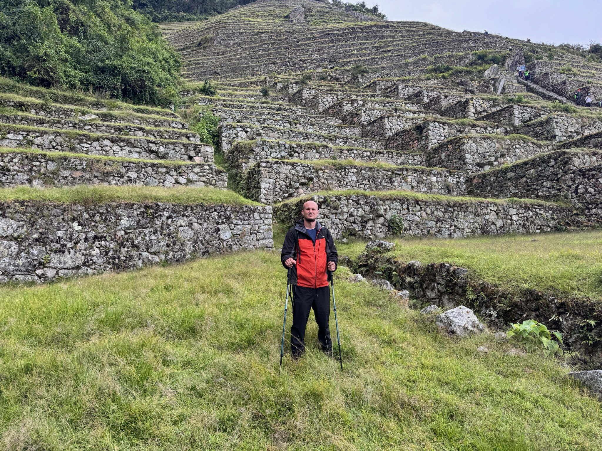
From there the trail plunged down what felt like thousands of Inca steps to Intipata, the “place of the sun”. It’s a great sweep of farming terraces curving around the hillside, and it’s the best example yet of how quickly the forest can swallow the past. Hikers in the late 1980s walked straight past it without knowing it was there. It was only properly uncovered in the 1990s, almost eighty years after Bingham first came this way.

Wiñay Wayna
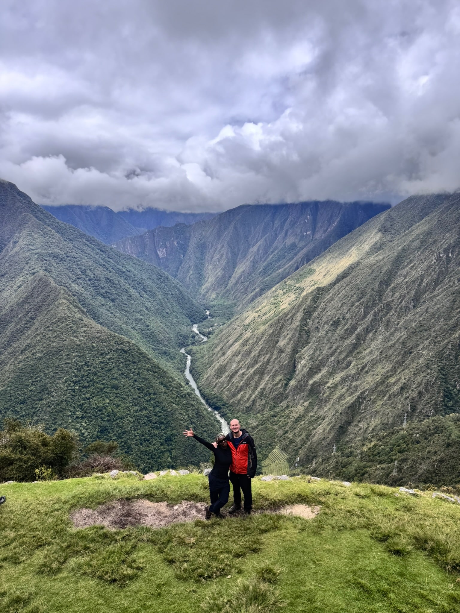
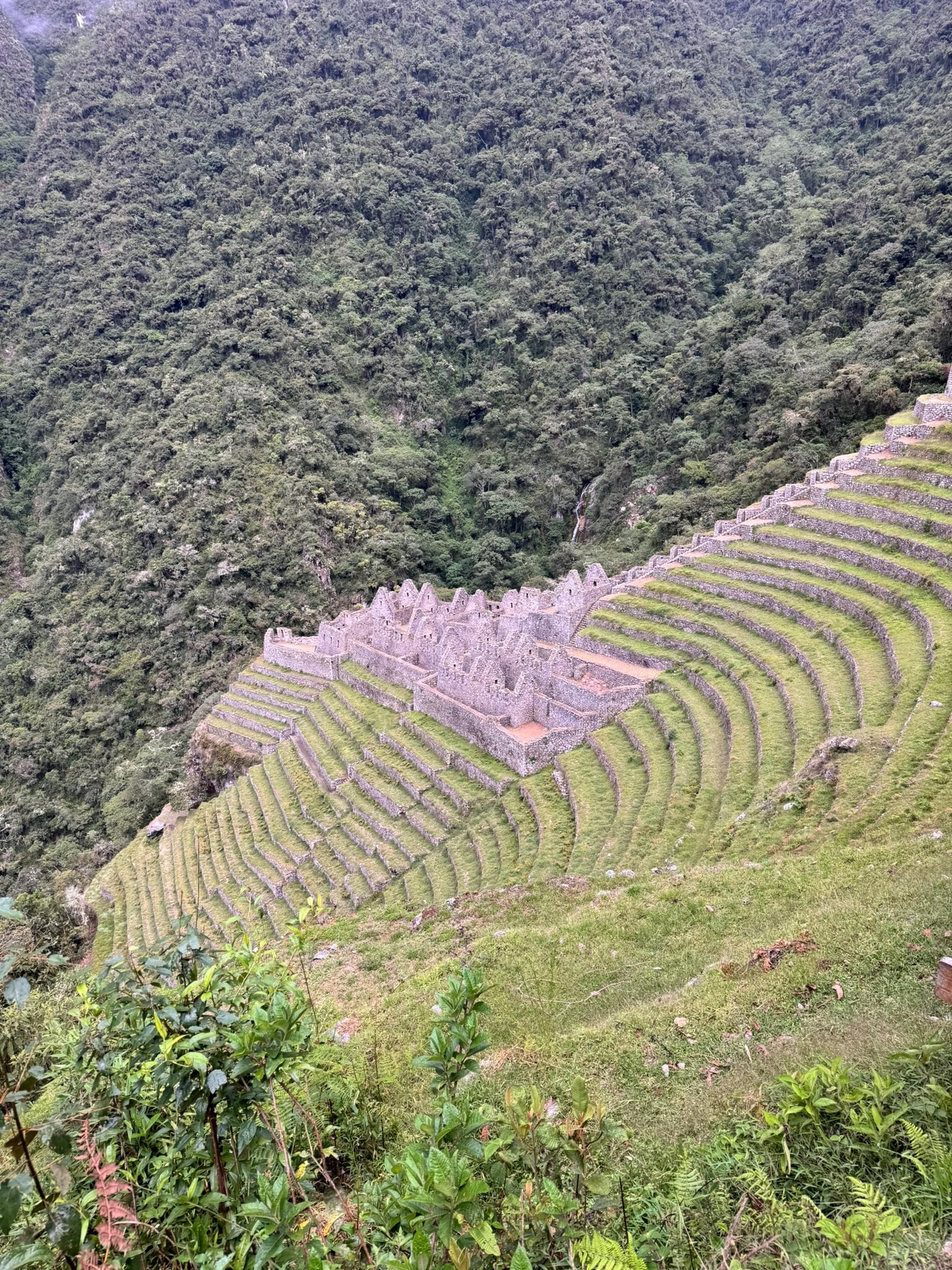
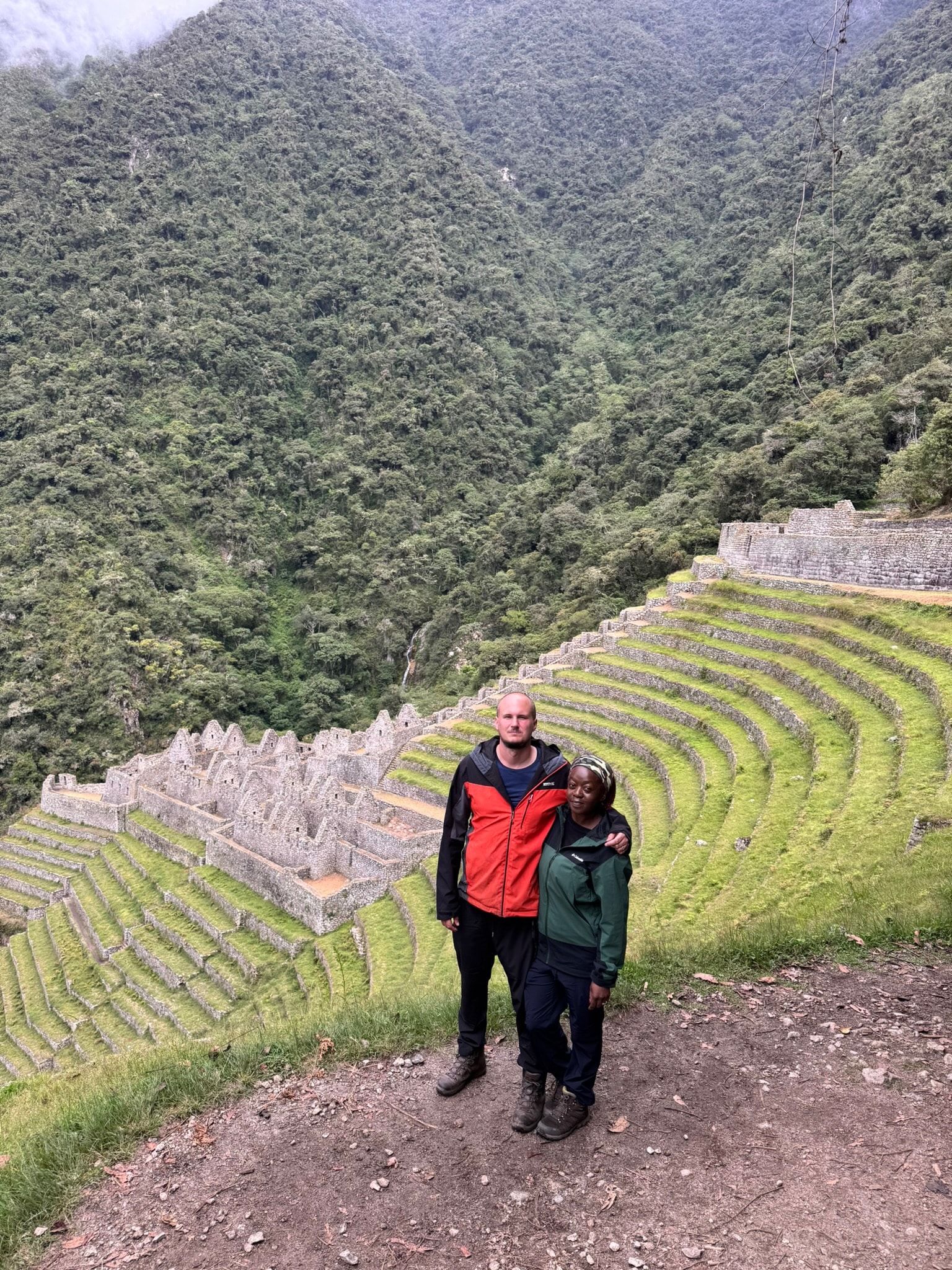
Our final site of the day was Wiñay Wayna, which was every bit as beautiful as Machu Picchu itself. Because you can only reach it on foot, it still has that “lost city” feel that I love when I explore places like this. Its terraces fall away steeply towards the Urubamba River far below, with a line of stone fountains running down beside them. Bingham passed close by but never found it, and it lay hidden until Fejos’s expedition in the early 1940s. Its name means “forever young”, and it comes from an orchid that still grows all around the ruins. It felt like the perfect name for a place that had waited centuries to be seen again.

Day Four: Inti Punku, the Sun Gate
Our final day started very early, in the dark, with a push up the last stretch of trail to Inti Punku, the Sun Gate. For the Incas, this was the main entrance to Machu Picchu, and it probably worked as a checkpoint where travellers were watched as they came and went. Its name means “door of the sun”, and it’s said to line up with the sunrise at the solstice. For us, it was the moment the whole journey had been building towards: the moment I described, when the mist cleared and Machu Picchu appeared below us.

Layer Upon Layer of History
Standing there, looking down at a view I’d seen in photographs a thousand times, I was struck by how these places are so much more than a window onto the past. They’re layer upon layer of history, stacked on top of one another and so tightly woven together that to separate them would be to destroy them. For the Incas who built them, they were farms, waystations and holy places. Then, in the 1530s, the Spanish conquistadors arrived, and the empire that had built them collapsed.
As far as we know, the Spanish never found Machu Picchu. The forest slowly took it back, the silence adding its own layer of history. Centuries later, when explorers like Bingham and Fejos finally hacked their way through the undergrowth, these sites became discoveries that changed how the world understood the Inca Empire.

The Story Still to Come
And for me, places like this are pure gold. I know for certain that there’ll be a book set in these mountains—it’ll probably have a hidden temple or two, a few great chase scenes, and (of course) a world-changing relic!
But there’s more to it than that. In that moment, looking down on that place and thinking through its tangled history, I realised that as a writer I’m only ever building on what’s already there. The Incas laid the stones, the forest wrapped them up and hid them from the world, and the explorers brought them back.
So when you read the story, and you find yourself standing at the Sun Gate with Eden and her crew, looking down on Machu Picchu for the very first time, you’ll be standing on all those layers too. Mine will be the newest and the thinnest, but who knows? Maybe one day you might walk that trail yourself and add a layer of your own.